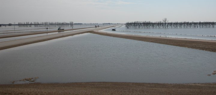
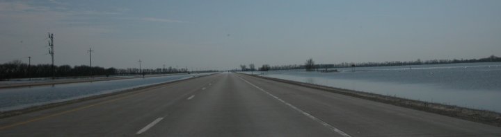
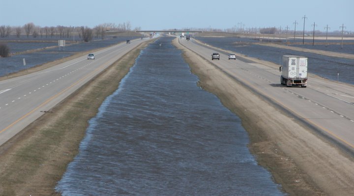
Interstate 29 a few miles west of Oslo, MN is sourrounded by water. Portions of the freeway would eventually have water flowing over it. The Red River was several miles wide at this point.
Red River of the North Flood - April 2006
|
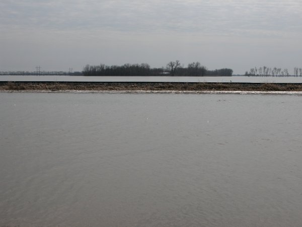
The photos below were taken in and around Oslo, MN. The river crest here was very near the 1997 record crest. The photos simply do now show how much water was in this area. The river was several miles wide and looked like a giant lake. Unfortunately, this isn't the kind of beach front property folks are looking for in this area. (Click images to enlarge) |
|
Interstate 29 a few miles west of Oslo, MN is sourrounded by water. Portions of the freeway would eventually have water flowing over it. The Red River was several miles wide at this point. |
|
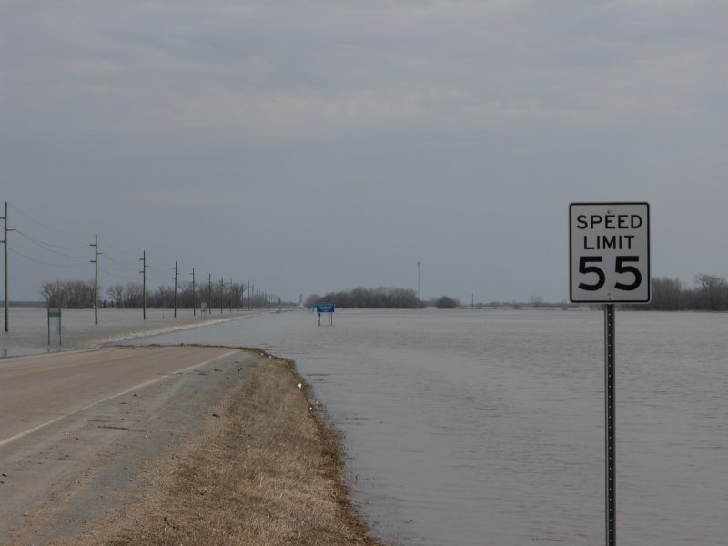
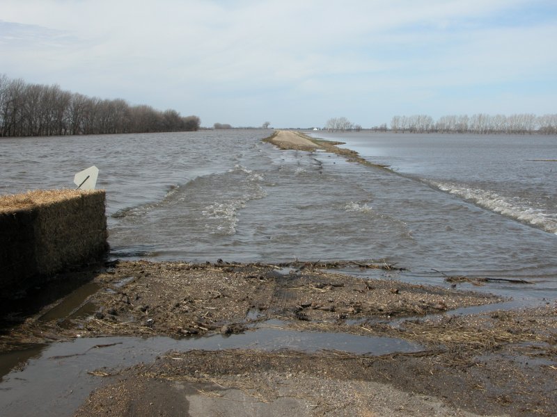
Left: The only open road to and from Oslo, MN has several inches of water flowing over it. I saw a truck drive through this mess so I gave it a shot. It was a white knuckle experience that I would probably not repeat. This road would later be closed at it was simply too dangerous to manuever. Right: The highway leading east of Oslo is closed. |
|
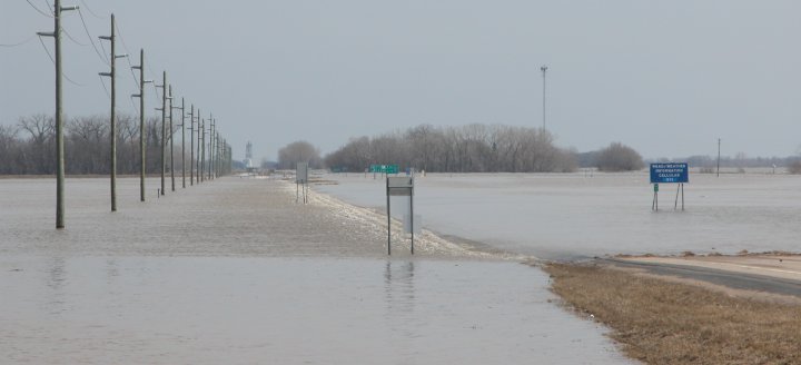
No leaving Oslo in this direction. |
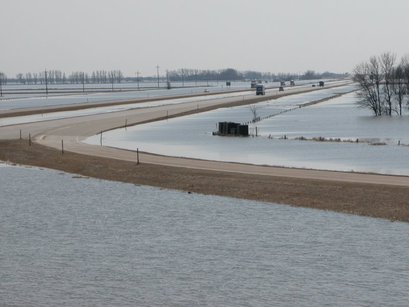
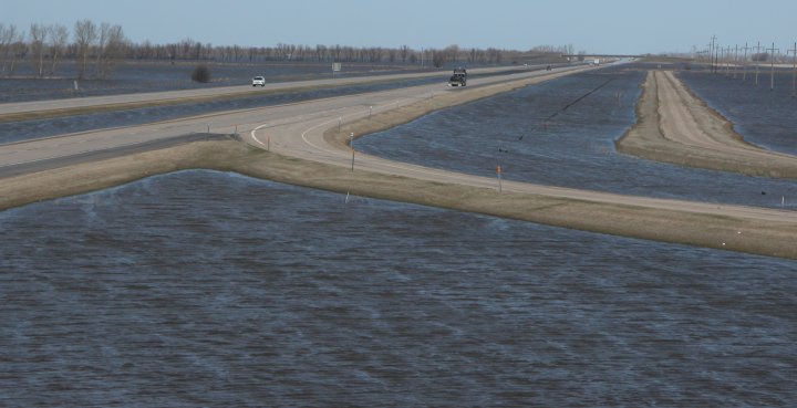
Left: One of many structures that were submerged by the high water. Right: An awesome perch at an interchange just north of the Oslo exit that is probably used by only a few cars per day. This perch will make for excellent storm photos as well. The freeway is esentially an island at this point. Shades of Seven Mile Bridge in the Florida Keys. |
|
A driver's eye view of the flood along Interstate 29 about 25 miles north of Grand Forks, ND. |
The flood a week later as viewed from my favorite perch above the freeway. The water had receeded by a couple feet from the peak crest at this location. |
Left: The rail road builders must have had this figured out: Build above the high water zone. Right: A washed out just off the exit ramp north of Oslo. |
The water has receeded by a foot or two but was still quite high. |

