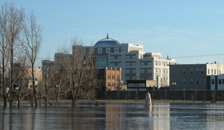
City Hall on the North Dakota side of the Red River.
Red River of the North Flood - April 2006
|
Summary pending. More photos pending. (Click images to enlarge) |
|
City Hall on the North Dakota side of the Red River. |
|
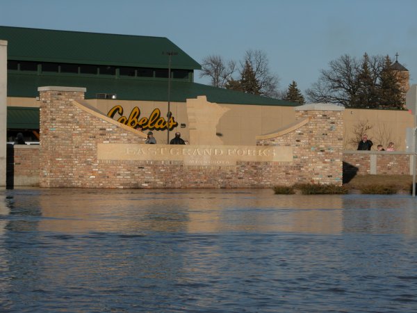
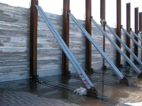
Left: Cabela's protected by East Grand Forks flood wall. Right: A view of a portable flood gate. |
|
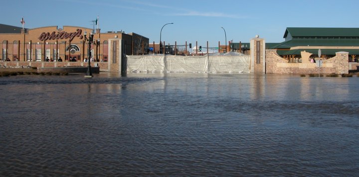
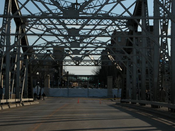
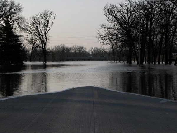
Standing on the normally very busy Sorley Bridge (DeMeres Ave) connecting Minnesota and North Dakota. Downtown East Grand Forks is protected by the new flood wall. |
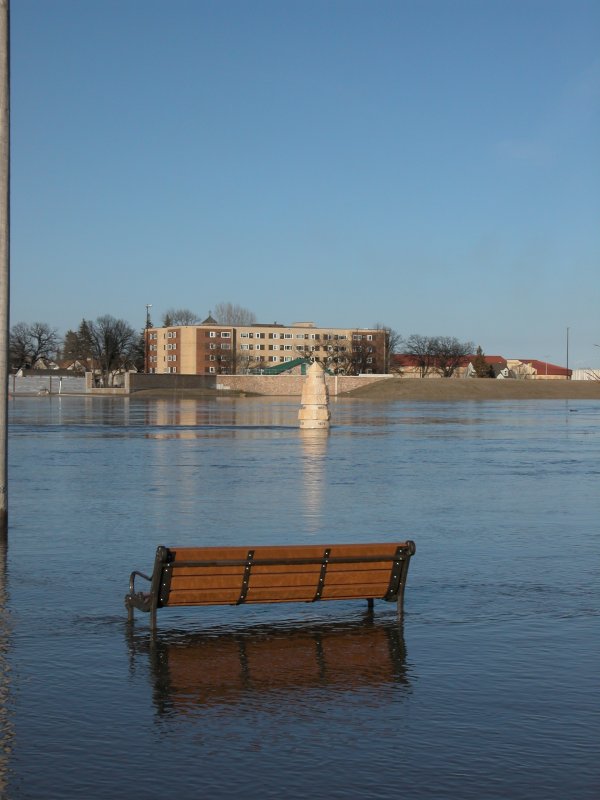
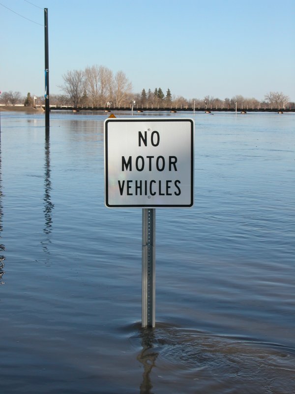
Left: A bench on the North Dakota side. Right: A bike path entrence sign adds amusement. Common sense in this case. |
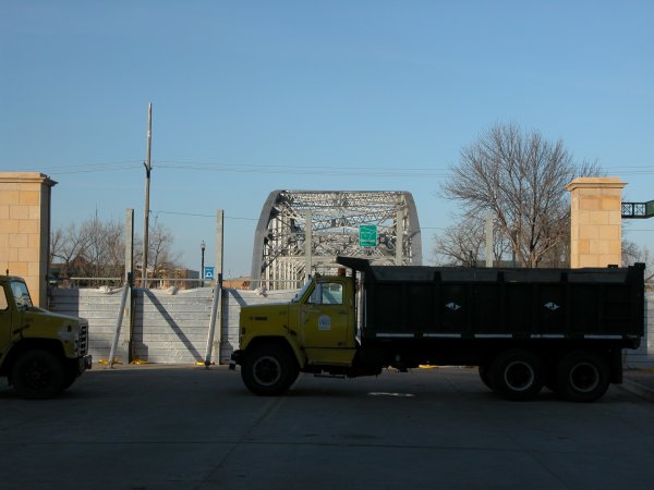
Left: Flood wall on the west side. Right: Standing in the middle of DeMeres on the Sorley Bridge. The bridge would be later closed to sight seekers as well. |
Left: Flood monument in Grand Forks depicting various high crests. The 2006 crest was near 48 feet or six feet below the infamous 54 foot record stage set in 1997. Right: The river became the center of attention in town for a couple weeks. This image was taken shortly after a large sheet of ice slammed into the bridge. |
Left: Flood wall on the west side. Right: Standing in the middle of DeMeres on the Sorley Bridge. The bridge would be later closed to sight seekers as well. |
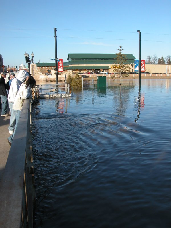
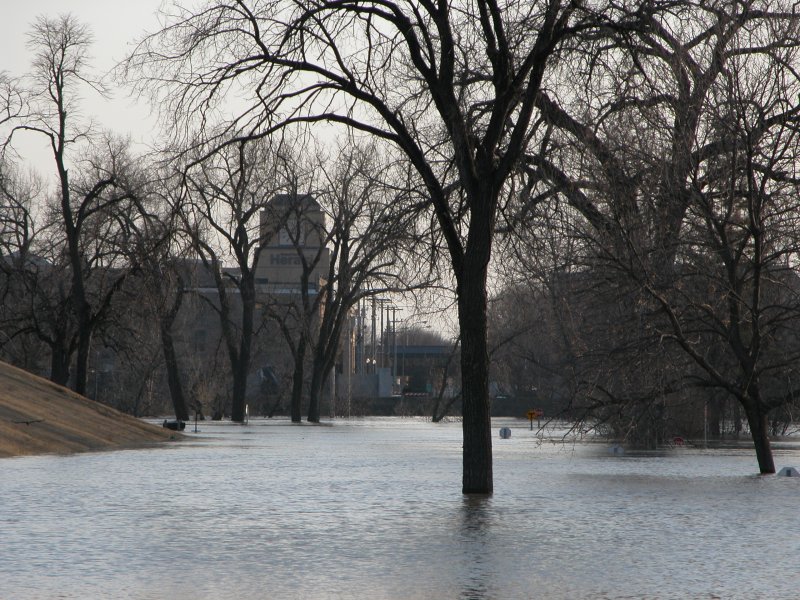
Left: Riveride Drive in East Grand Forks is submerged. Right: A view of downtown Grand Forks fro the east bank. The large building in the office of the Grand Forks Herald newspaper which was rebuilt after the devasting 1997 flood and fire. |