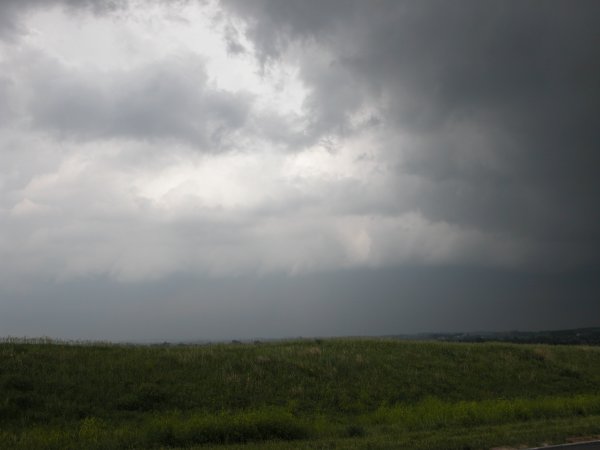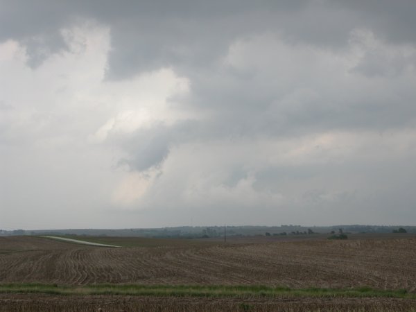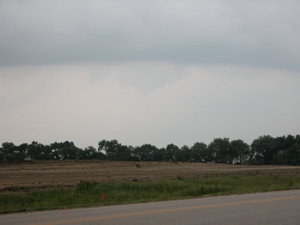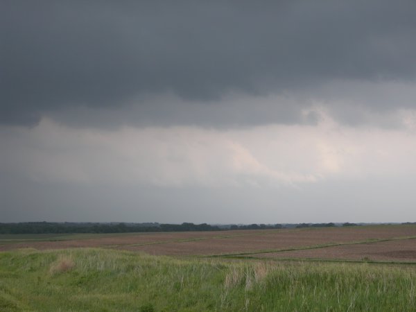
Left to Right: Cloud structure southeast of Syracuse, Nebraska. Looking east on H128.
Syracuse, Nebraska - May 24, 2004
This day started off with another high risk assessment by the SPC.
Given I somewhat screwed up my chase in the previous high risk just two
days previous I was determined to find some neat cloud structure. I had
a very narrow window of oppotunity to chase as I needed to be back in Lincoln
by 5:30. I figured initiation would be early given the magnitude of forcing
and very limited cap. After touring
destruction caused by the 2.5 mile wide F4 tornado in the Wilber and
Hallam area just south of Lincoln I went back home to look at some data.
Before I even had the satellite up I could see a fast rising tower just
to my southeast. A look on the radar confirmed there were storms about 40
miles away. Both the radar and satellite also indicated a boundary moving
through the Lincoln area. I quick grabbed my camera (forgetting the weather
radio) and headed out the door. I drove through the city to get to Hwy 2
(aka: Nebraska Highway) getting irritated at every red light. I made it
to Syracuse and decided to go south a short distance, get on a hill, and
watch. There was some mild chaser convergence on the road I turned on..
I noticed a tour van parked on the corner and two other chaser vehicles.
It was not the best structure I've seen but did capture a couple of wall
clouds and a funnel. After watching the storm I went north several miles
on H50. I found a new perch to watch from and captured a weakly rotataing
wall cloud. I watched this for about 10 minutes and then continued north.
Turned west to get back home on U.S. 34 knowing full well the action was
just getting going to my east/southeast. I guess you take what you can get.
A severe warned cell was to my north and another to my west. Also a neat
lowering as I pulled
in for gas in the town of Eagle located about 10 miles east of Lincoln.
The storm hit during the evening rush hour and it took me 45 minutes to
traverse the last 10 miles home. Lincoln drivers!... but that is an entirely
different write up. I was hit on "A" street by a few pea sized
hail stones and one big quarter or bigger sized stone that struck the windshield
on made a loud bang and exploded. Fortunately the window is in good shape.
|
Click images for larger version
|
Left to Right: Cloud structure southeast of Syracuse, Nebraska. Looking east on H128. |
|
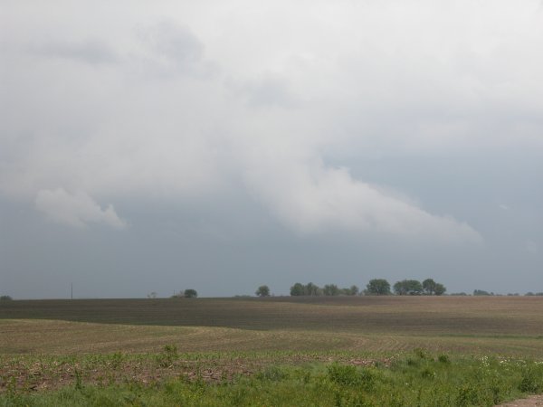
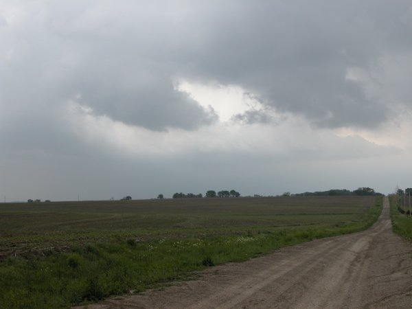
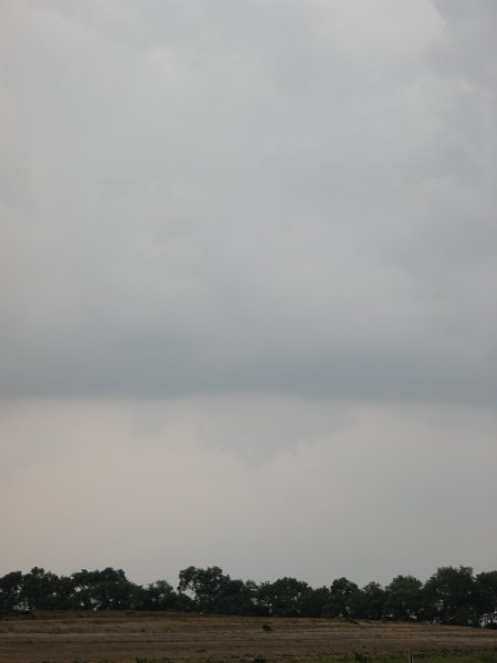
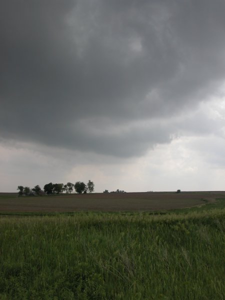
Left: Updraft base of cell northeast of Syracuse. Center: A "cheap" wall cloud. Right: A better rotating wall cloud northeast of town. |
|
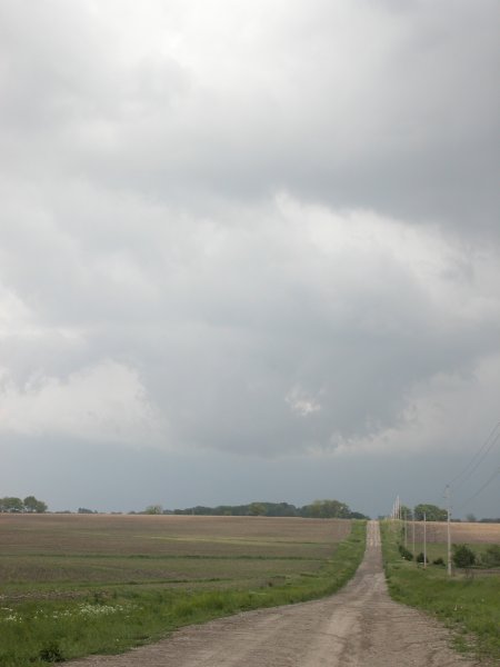
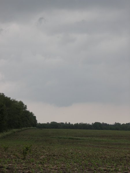
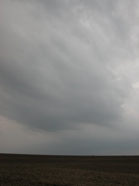
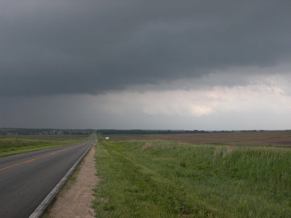
Left to Right: looking east/northeast at cloud structure from my position several miles north of Syracuse. |
|
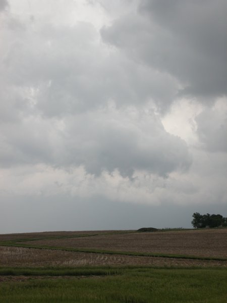
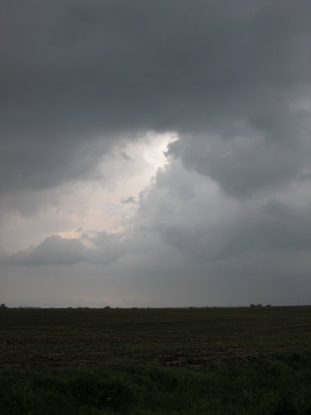
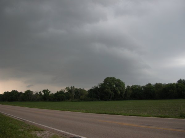
Left and Center: Same position as above. Right: A lowering southeast of Eagle, NE but not very strong rotation from my view. |
|
Left: same as right above. Center and Right: Positioned just east of Lincoln looking at shelf cloud moving in from the west |