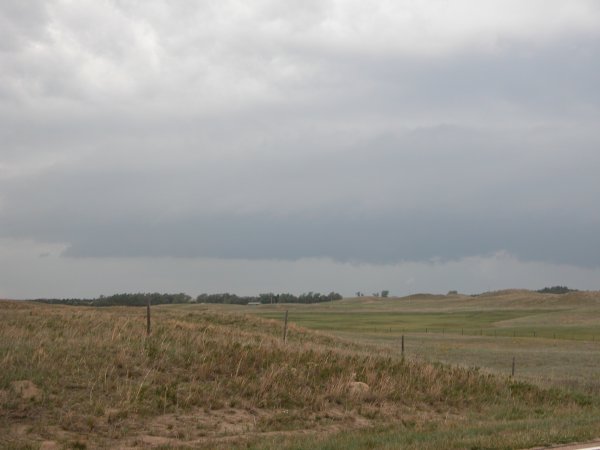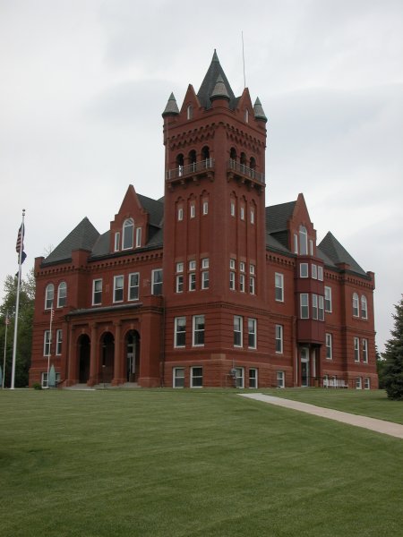
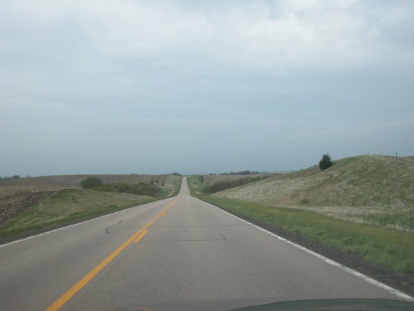
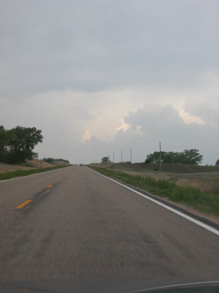
Left: A quick stop at the beautiful Wayne County courthouse. I enjoy looking at architecture of storms and old buildings. Center: The drive toward O'Neill on U.S. Hwy 20. Right: Towers going up to the west as we head toward Burwell, NE.
Holt County, Nebraska May 16, 2004
I was pretty exceited about the tornado potential for this day several
days in advance. Around 36-hours out I selected O'Neill, NE as my potential
chase target. After viewing some data the morning of the chase and discussion
with James we decided to maintain the O'Neill target and headed toward Wayne,
NE to pick up another chase partner Sam on the way to the target. Before
getting to Wayne, we stopped in a the quaint little town of Hooper,
NE to stretch our legs. After looking at some data in Wayne we maintained
our target but were concerned with low-level clouds that would limit instability
if they didn't lift. We just needed some instability to initiate the storms
as the shear profile in the atmosphere was phenomenal and would help to
counter lower CAPE values. We arrived in O'Neill and were disgusted with
the amount of cloud cover still in the area. After a gas stop and a look
at The Weather Channel, we were even more agitated to see a Tornado Watch
outside our target area. We made a quick phone call to see what the satellite
looked like and were informed there was plenty of clear air just to our
south. We dropped due south down U.S. 281 toward Bartlett. There were towers
going up fast to our west. We had two road choices and took the more southern
route and headed toward Burwell. We could see several great looking cells
when we were on the monster hill descending into Burwell. We decided the
two cells to our north looked the best and stopped several times for photos.
The southern cell may have dropped atleast one tornado as the funnel was
close to the ground. We drove a few miles up the road and witnessed a fairly
large tornado atleast five miles to our east/northeast. It dropped quickly
and disappeared quickly, either rainwrapped or lifted. Unfortunately we
couldn't get a shot of this beast. Later, we seen the damage path cause
by the tornado which looked to be a good mile long. Trees on a farmstead
were torn up severely. There was one tree that was launched a solid half
mile into the center of a field. James and I both wanted to drop south toward
other tornado warned cells but we had to drop Sam off back in Wayne. A shot
at the other storms would have lost us a solid two hours. We paralleled
the cyclical supercell near O'Neill for many miles as darkness descended
quickly. Much to the chagrin of my wife, I arrived back home after being
out twelve and a half hours with over 450 miles on the car. Thanks to James
and Sam for sharing expenses during this expensive gas season. There are
numerous pictures from this great chase. Enjoy!
Click images for larger version
|
Left: A quick stop at the beautiful Wayne County courthouse. I enjoy looking at architecture of storms and old buildings. Center: The drive toward O'Neill on U.S. Hwy 20. Right: Towers going up to the west as we head toward Burwell, NE. |
|
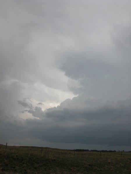
Left: Updraft base of supercell just north of Burwell. Center: Another couple miles up the road, looking west. Right: The meso is churning with a large lowering in the lower center of the photo. |
|
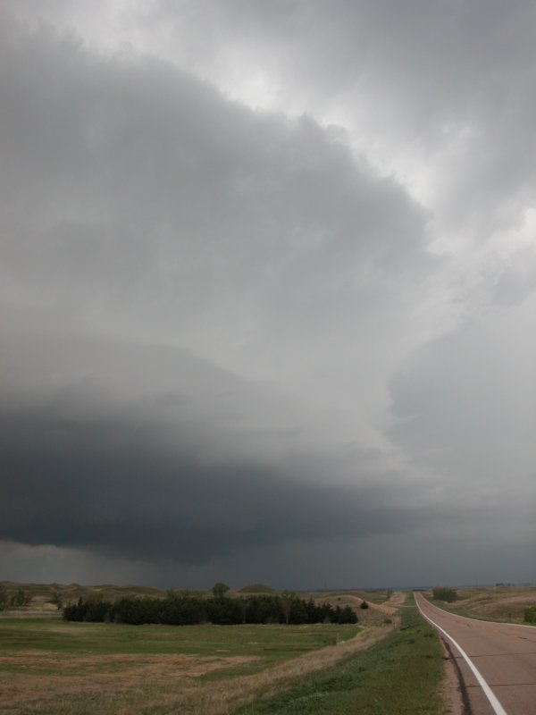
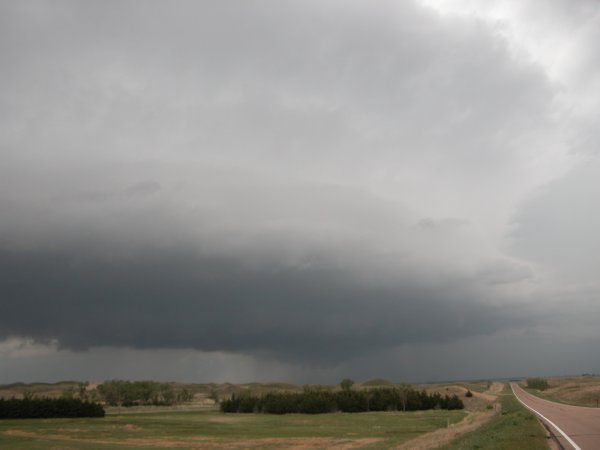
Left and Right: A photogenic beauty of a storm several miles north of Burwell. The mothership has arrived! |
The Chase Continues! Click for more May 16 chase photos.