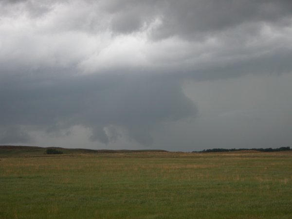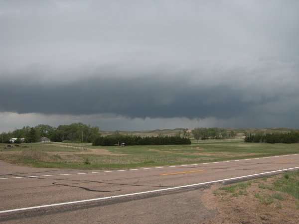
Left: Meso to our northwest. Right: Meso to our northeast which produced the tornado near Amelia.
Holt County, Nebraska May 16, 2004 (continued)
Click images for larger version.
|
Left: Meso to our northwest. Right: Meso to our northeast which produced the tornado near Amelia. |
|
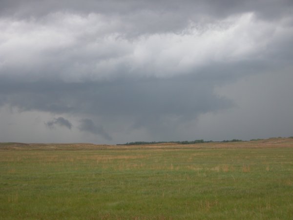
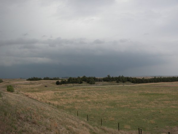
Left: Funnel cloud descends from wall cloud. I couldn't tell if it touched the ground. Right: Same cell. |
|
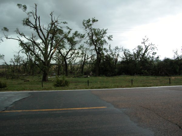
Left: Tornado damage near Amelia, NE. The tornado caused highly localized damage. Note how the powerlines are still intact. There was a narrow 50 yard wide and atleast one mile long damage path. One tree was launched about a half mile from it's previous location. The tornado narrowly missed a field of cattle. Right: A spooky looking sky. |
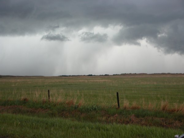
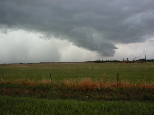
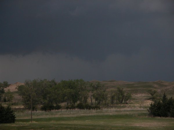
Left and Right: There was still plenty of inflow into the storm. Note the hail and rain curtains. We quickly ducked east to avoid a beating. |
The Chase Continues! Click for more May 16 chase photos.