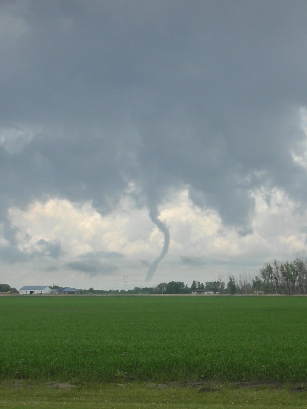
A little south of Sharon I would get the highlight of my chase.
Sharon, ND Supercell - June 26, 2008
| I was stuck on the day shift while a large contingent
of Meridian forecasters headed west well past Bismarck to chase. Since I
could not chase with the crew I was hoping "Plan B" would materialize.
Plan B was hoping a storm would pop within an hour drive of Grand Frorks
along a boundary entending from west-central ND into southeast ND. The boundary
offered ample shear but forcing in southeast ND would largely be limited
to the convective temperature becoming breached. This did happen shortly
after I departed work. I went home and occasionally checked the radar to
see what the storm was doing.. Finally I decided I needed to go if I was
going to get some decent photos on my cheap pocket digicam before it got
too dark. I made a point to drive through Northwood to see how the town
was progressing after getting a solid F4 kick in the butt the previous year.
The town streets were clean but the downtown area buildings largely remained
in disrepair. I dropped south from Northwood and eventually ended up in
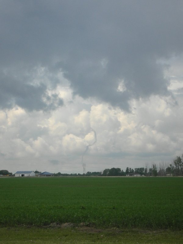
the small town of Sharon. From there I had a nice view of a sculpted supercell.
Unfortunately some of nature's art was hazed over by mid-upper cloud debris
from western ND convection. My cheap digicam does not perform well in low
light so I used the hood or roof of the car as my tripod and then hit the
button. I noticed a bolt of lightning as I snapped the photo and was delighted
to see I captured it in a relatively clean image. This was the first time
I captured lightning however I have never made any serious attempt to do
so as I have never had the proper equipment. Once I get some bills paid
I'll be able to upgrade the equipment and take advantage of additional photo
opportunities. After taking the photo I began to drive toward the storm
thinking I would sample the hail core. After a few miles I began to feel
quite tired and with light waning I opted to head home instead. On the way
back north I happened to pass the Mayville WSR-88 (the Eastern North Dakota
radar) which I had never seen before. I stopped to take a photo, get a little
radiation, and call Matt to see how the view was in western ND.
|
|
A little south of Sharon I would get the highlight of my chase. |
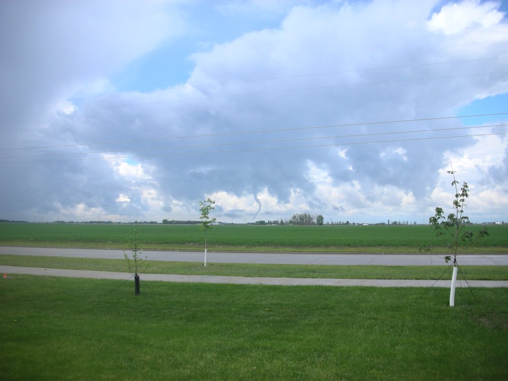
Storm clouds brew south of Northwood, a town on edge after getting the "buck fifty" courtesy of an F4 tornado in August the previous year. |
Left: Northwood church in disrepair ten months after the tornado. Right: NWS Doppler radar site at Mayville, ND. |