Grand Forks is actually a very nice place if you can deal with six months of cold and complete lack of terrain variation, but, this place really does blow when it comes to wind
Grand Forks Black Blizzard - May 17, 2008
|
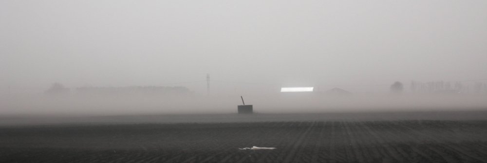
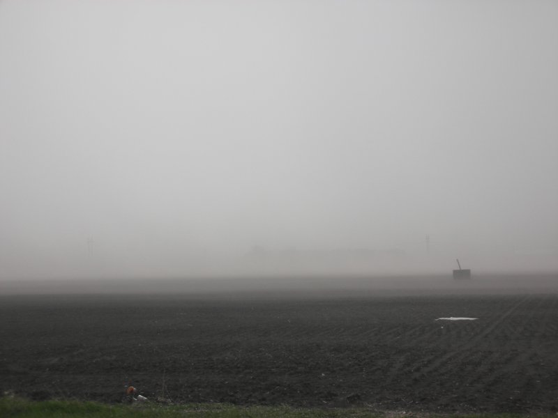
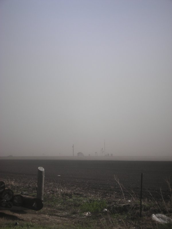
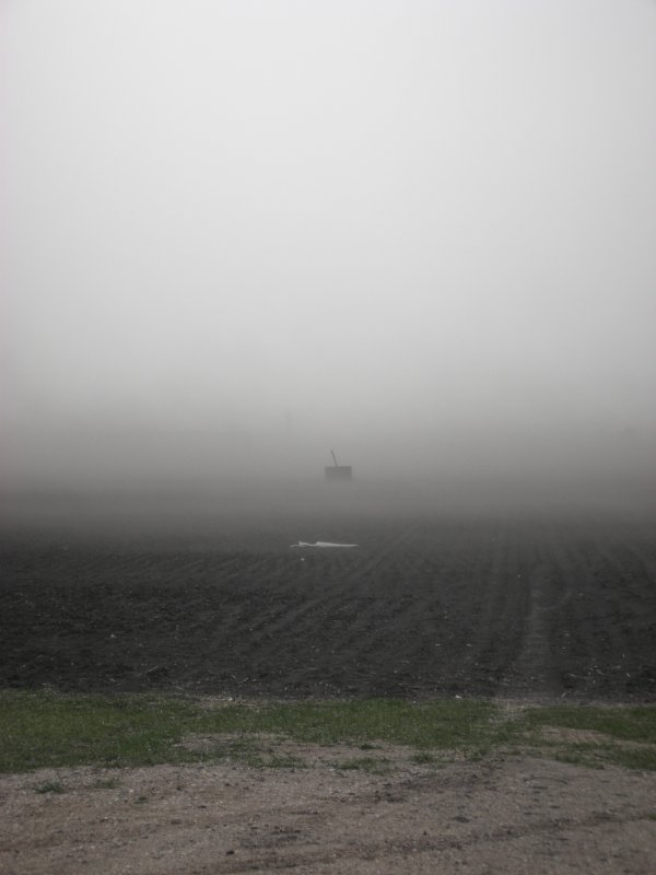
A cold, dry, and windy spring led to several episodes of blowing dust during the months of April and May. The worst duster occurred May 17 and completely blotted out the sun at its peak. The air was difficult to breath and I can only imagine how much worse life must have been on the Plains during the Dust Bowl years in the 1930's. The northwest corner of my yard accumulated two to three inches of drifted top soil. Rather than deal with the mess I simply spread some grass seed in the area. The grass definitely grows better in that spot today. The windows of the house were not open much that spring and accumulated a significant amount of fine clay particles to clean up. Caution: rant ahead. The field (perhaps a half section) in the images below contains no shelter belts aside from a cluster of trees on the west end that may not even be on the property. I simply do not understand why some farmers allow topsoil to be blown into the next state when shelterbelts are easily utilized to limit wind erosion and wind stress on crops. An old farmer saying goes, "Don't complain with your mouth full". Sorry Farmer Bob, my mouth is full of your dirt. What are you going to do when your land continues to lose productivity due to erosion and intensive N-P-K application becomes cost prohibitive? Farming is perhaps the largest polluting industry in the world yet these hazards are seemingly rarely discussed.. Big oil and coal are a candle in the wind to big corn. (Click images to enlarge) |
|
Grand Forks is actually a very nice place if you can deal with six months of cold and complete lack of terrain variation, but, this place really does blow when it comes to wind |
|
I'm gussing it is a half mile across the field to the buildings on the otherside. The white rectangular strip right of center is a metal roof getting some sun... otherwise you wouldn't know it was a "sunny" day. |
|
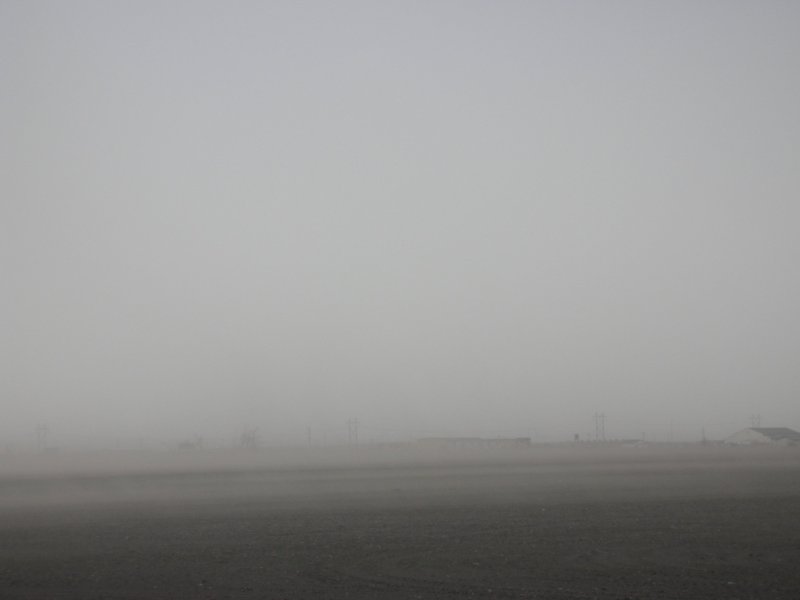
Left: looking southwest at Demers Ave just west of 55th Street. Right: Looking northwest toward U.S. 2, locally known as Gateway Drive. Visibility was likely near zero on Demers at this time. |
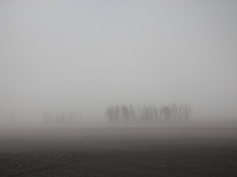
Left: Trees a half mile away. Looks more like a foggy day than a dirt storm. Right: Same direction as the two top images but visibility further reduced. |
Left: Looking southwest again. I can now see some hazy blue in the sky. Right: Same view as image above. General visibility was the lowest at this point, a quarter to half mile. |