I didn't get a picture of the tornado but was happy to capture the scarps.
Crookston, MN - June 17, 2007
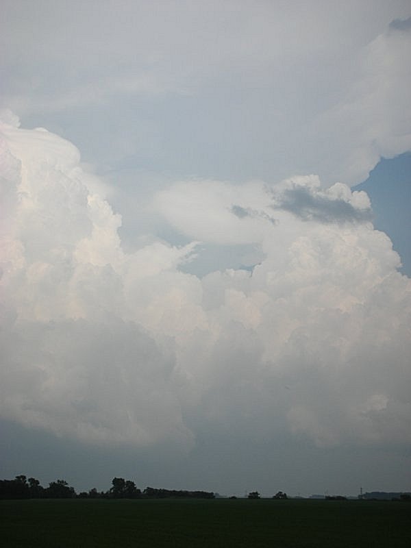
| This was a day where the computer forecast models were suggesting a severe weather outbreak several days in advance. I had the day off and was eager to actually get in the car and do a real chase for the first time this year. The forecast was a bit tricky. There was a lead shortwave intersecting a warm front advertised to be in extreme eastern ND during the afternoon followed by a cold front slicing through eastern portion of the state during the late afternoon and evening. I figured the best tornado threat would be along the warm front ahead of the lead trough if the cap could break. The visible satellite showed the area to be unsettled around 3pm but storms did not look imminent. Nothing was going on around the cold front at this time as the cap was a little stronger than advertised. Shortly after 3pm Matt and I make a quick stop to pick up one of his friends and down the I-29 we go. We intended on heading straight toward the Cooperstown, ND vicinity waiting for the secondary target to go when we see a crisp tower exploding on the warm front. I took the the Thompson exit just south of Grand Forks and pull off on a road to take a few pics of the nice looking tower. My wife called moments later indicating the cell was tornado warned. Funny how I got the warning through her faster than the weather radio. This was a no brainer. Back in the car and proceed east to cross the Red River into Minnesota on County Road 9. We had a perfect view of the updraft from the west. When we were about five miles west of Crookston a small rope funnel became visible. As this funnel started descending to the ground I quickly pulled the car over to snap some pics. As soon as I stepped out of the car the funnel was already disintegrating but I was able to get one photograph of the funnel before it completely disappeared. A storm chaser seeing a tornado and not getting a photo is like a golfer getting a hole-in-one when the course is empty. Once the tornado lifted the whole storm diminished rather quickly. While I have not witnessed a great number of tornadoes, this one managed to have the shortest life cycle of the dozen or so I have seen. This was definately a right place at the right time sort of storm as it left several other chasers disappointed. Realizing this storm was dead we proceeded to drive south on U.S. 75 and then crossed back into ND on County Rd 1 via Nielsville, MN. It was off to the later target. While approaching Mayville, ND I remembered there was a ghost town nearby that I noticed on a chase a couple years earlier. We drove to the metropolis of Roseville, ND which has nothing left other than an old elevator and school house. I thought there were a couple other buildings there last time I was through. From there it was off to a hill just west of Galesburg where we waited, and waited, and waited. A few packs of firecackers kept us mildly entertained. By 8pm it became apparent we wern't gonna see the show with good light so we took the scenic route home hoping to meet up with a cell moving out of the Devils Lake Basin. We did see the cell but onced we crossed the warm front boundary visibility in fog dropped to nearly half mile. The cell, or one of its cousins, became tornado warned after I already made it back to Grand Forks. Spontaneous convection all over the place occured shortly after and a bow echo plowed through the Fargo area around midnight causing a fair amount of wind damage. (Click images to enlarge) |
|
I didn't get a picture of the tornado but was happy to capture the scarps.
|
|
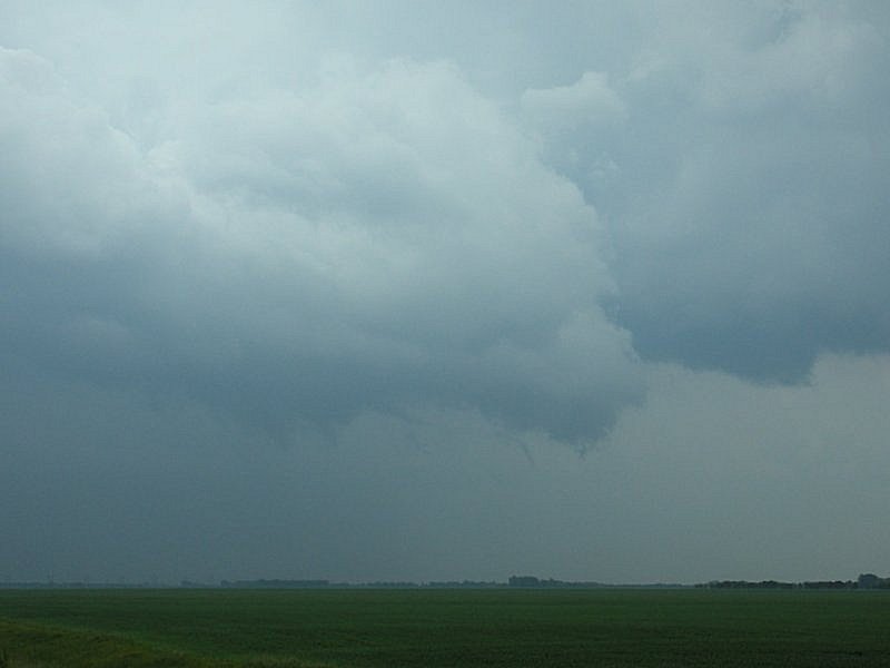
View of the Crookston storm from near the Thompson exit on I-29. There is a dangling feature on the cloud base near the center-bottom of the image. |
|
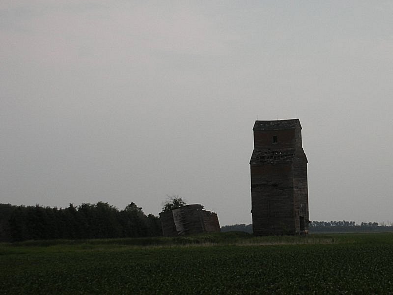
Ghost town of Roseville, ND. It appears the train tracks at one time went between the dilapidated structers on the left. The building on the right appears to be the old school house. There is an old swingset just to the east of the building. I thought there was a town hall type structure just across the street from the school. It was either destroyed or is someplace else.
|
|
Hanging out just west of Galsburg, ND. |
|
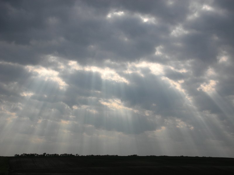
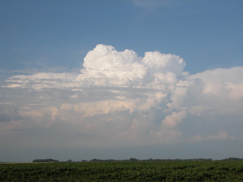
Left: Crepuscular rays. Right: Tower over Devils Lake area. |