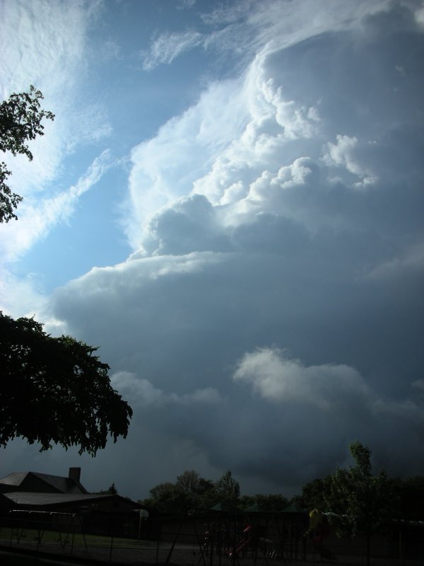
Close call, but, perhaps I should be paying attention to the clouds...
Grand Forks, ND - May 30, 2007
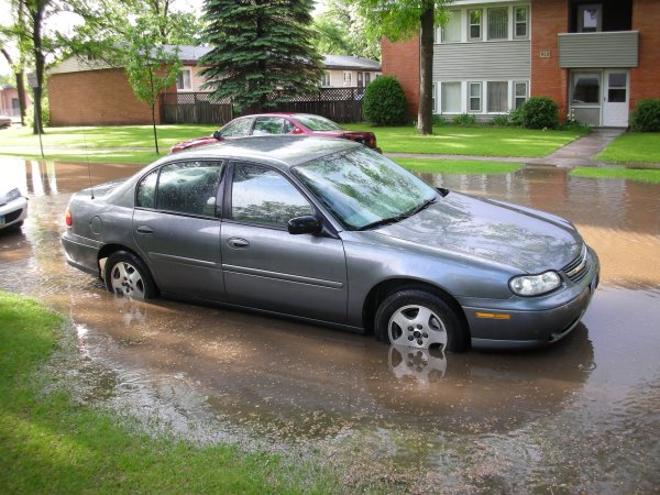
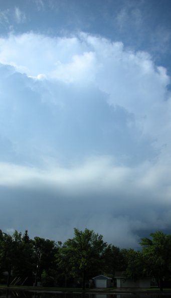
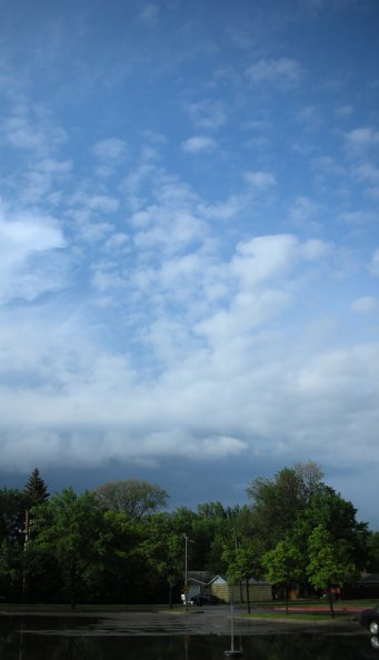
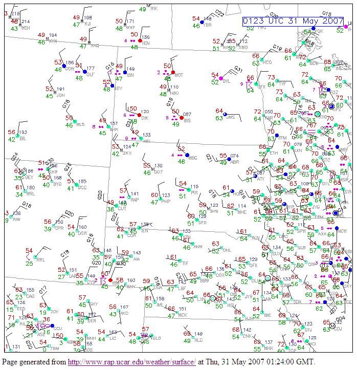
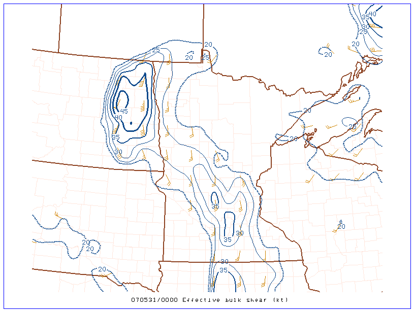
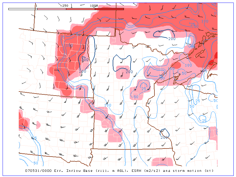
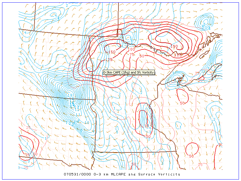
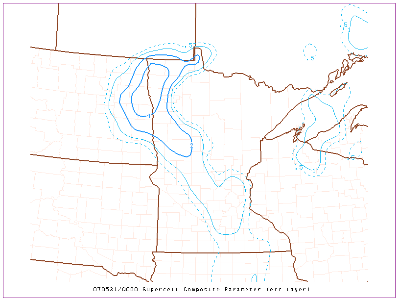
| Late May is when the North Dakota storm season really begins. Seeing a good storm earlier in the month is more or less a bonus. Seeing a nice looking storm in your backyard during a season of high gas prices is the jackpot. I took a week of vactation to go vistit the folks, pack the apartment for the move to a house, and grind out the thesis. I was paying little attention to the weather on this day as I was busy sorting junk for a garage sale. The morning was cool and cloudy so I wasn't expecting much more than a rain shower during the afternoon. Turns out there was a couple hours of clearing during the afternoon along with a moisture axis moving into my area. The NWS issued a tornado warning for Cass County on a cell about 75 miles southwest of me but I still wasn't with the program.. I looked at the radar and saw a small but rubust cell just to my southeast. I wait for this cell to hit while I play "Cars" by Snow Patrol to the wife for brownie points. The rain hits and then comes down with a vengeance. I estimate an inch or more fell in less than 20 minutes. I look out my front window and see the road is flooded with water just an inch or two below the car door. This brought back memories of 2002 when I did have a car flood in similar fashion in St. Cloud, MN when over four inches fell in less than an hour. Since the rain stopped and water was no longer rising I was in no rush to move the car. Unfortunately, idiots in large trucks decide the drive down the flooded road at high speed creating a nice wake. Luckily the driver's side was a little higher than the passenger side and no water got in the car. After all this distraction I finally look at the storm now just to my northwest and get stoked. If it looks like a supercell and smells like a supercell then it must be a supercell. It was neat watching cloud elements at different levels move in differing directions. Remembering there was an earlier tornado warning on a different storm I find a clearer view and wait. No tornado but a very nice looking storm. Total chase miles: 1/4. Total miles in car: 0. I finally figure a peek at some SPC Mesoanalysis graphics couldn't hurt and sure enough there were plenty of parameters in place for supercells and tornadoes assuming the RUC data was giving a reasonable approximation of the atmosphere. (Click images to enlarge) |
|
Close call, but, perhaps I should be paying attention to the clouds...
|
|
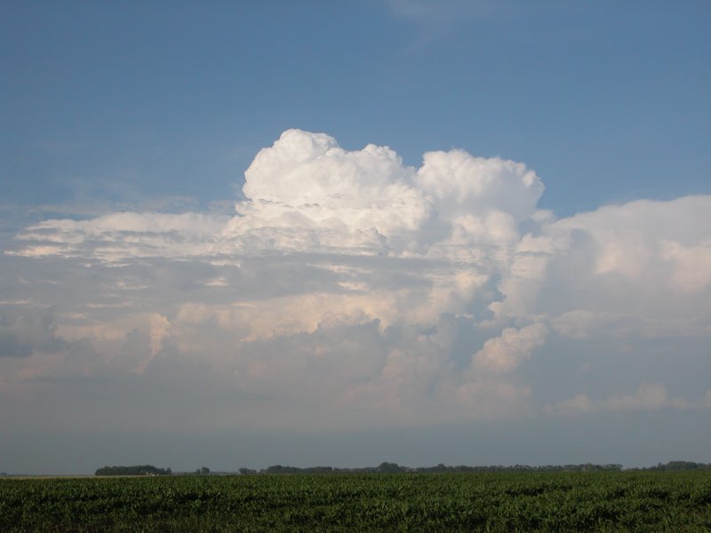
This looks interesting. It's got the tilt, the plate, and an extremely low base. The storm is moving slowly to the northwest. |
|
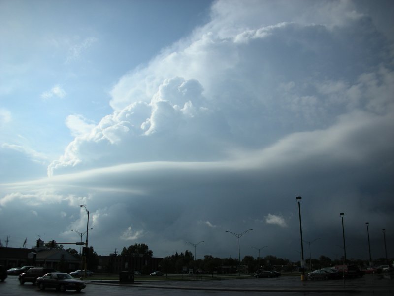
I chase the cell on foot about 100 yards down the road.
|
|
|