I was working
the 8-4 shift and was chomping at the bit to see some big storms this
day. The shear and instability parameters were in place for a solid
show. I got off work at 4pm and some towers were going up to my northeast.
I ignored these as they were heading toward hostile chase terrirory
(the Candian border and eventually lakes and trees) . I waited for some
towers to pop to my west which eventually did around 5pm. I initially
chased convection that fired near Hatton, ND. I left Grand Forks and
drove toward Buxton on Hwy 81 which parallels I-29. I got a car wash
courtesy of nature on the way and called co-wprker Adam who was near
Hatton that he needed to move east. The cell was moving quickly northeast
and looked interesting at times. There was a brief lowering and an interseting
tail. Adam ended up driving past me as I was taking a photo of a rural
church with tower in the background. We drove to Crookston, MN on 75
and then parted ways as he had to get back to work. I joked that as
soon as he got to the office (8pm) that I would see the tornado. I opted
to drive east on US 2 and then south on MN 32 in order to get ahead
of convection firing to my southwest in Traill County, ND. I zig-zaged
south and west and eventually parked between Ada and Halstad, MN. The
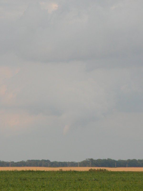
clouds looked funny north of Ada but I didn't give them too much thought
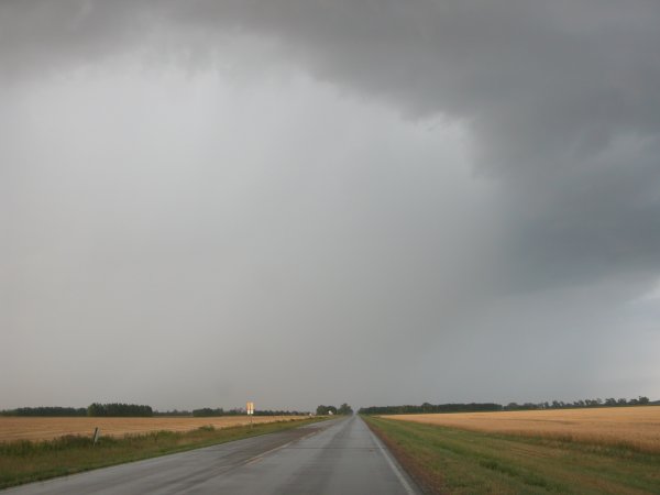
as the updraft was fairly small. The core was unloading just a mile
to my east while heading down Hwy 9. When I did park west of Ada there
was that one weaker storm to my east/ northeast and another beast rapidly
developing to my south. I was focusing on the beast when the weaker
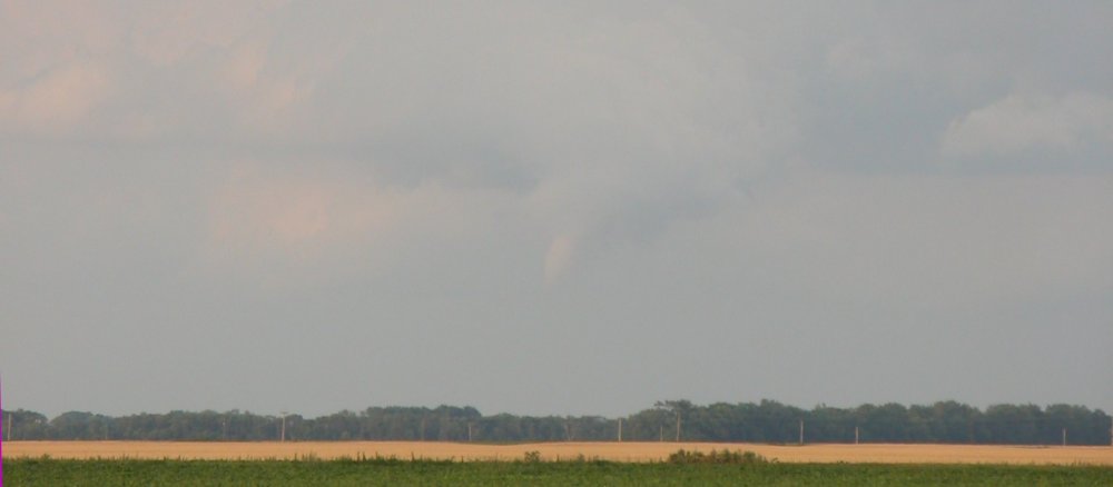
looking storm drops a fairly large funnel (around 8pm: Sorry Adam).
I cannot confirm a ground circualtion as I was a good 10+ miles from
it. (photo posted earlier). Funny thing was I drove right under that
developing circulation on Hwy 9 and didn't even realize it. I don't
belive there was a tor warn on the small cell (A quick and very coarse
radar reflectivity replay indeed showed the cell was not super exciting)
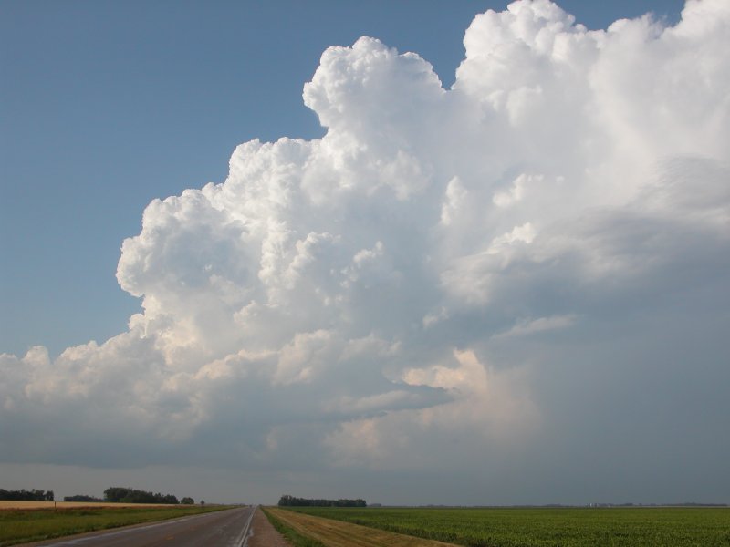
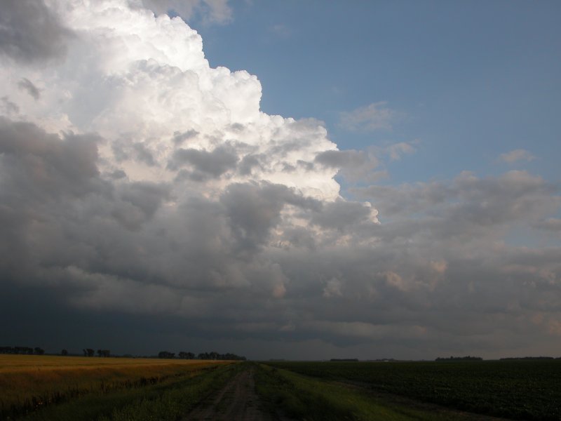
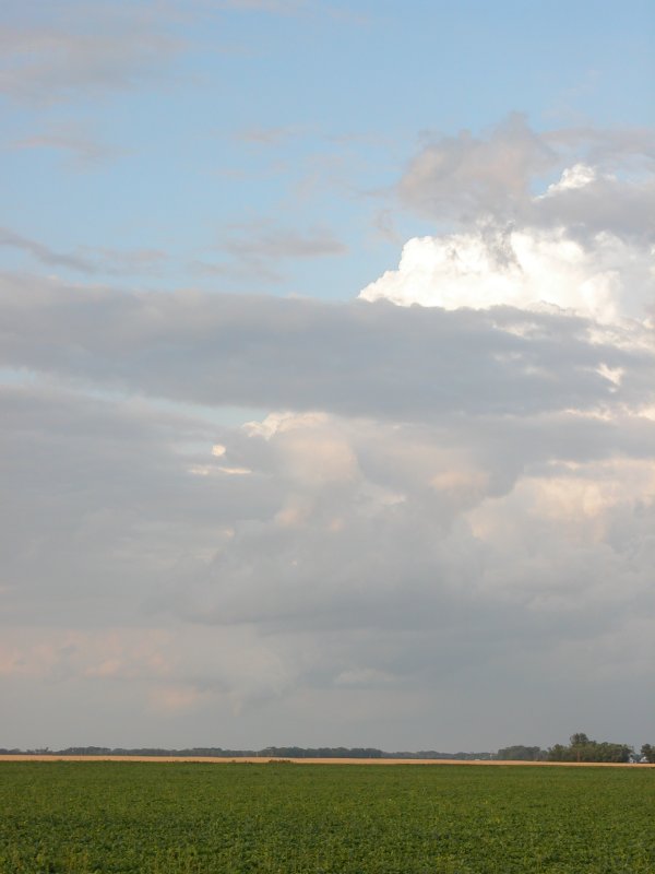
The beast storm eventually ate this smaller cell for dinner and was
a real treat to photograph. One of the most, if not the most, photogenic
sunlit towers I've seen (Will try and get pics on my site soon). Seeing
this certainly relieved the initial frustration of not being on the
Cass County, ND or Roseau County, MN storms. Since everyone else was
on the storm south of Fargo I'm happy I was alone on this tower. I didn't
see one other chaser less my co-worker earlier in the evening. I thought
about chasing this cell a bit longer back northeast but I was getting
low on fuel so I head west to Hillsboro, ND and add a few gallons before
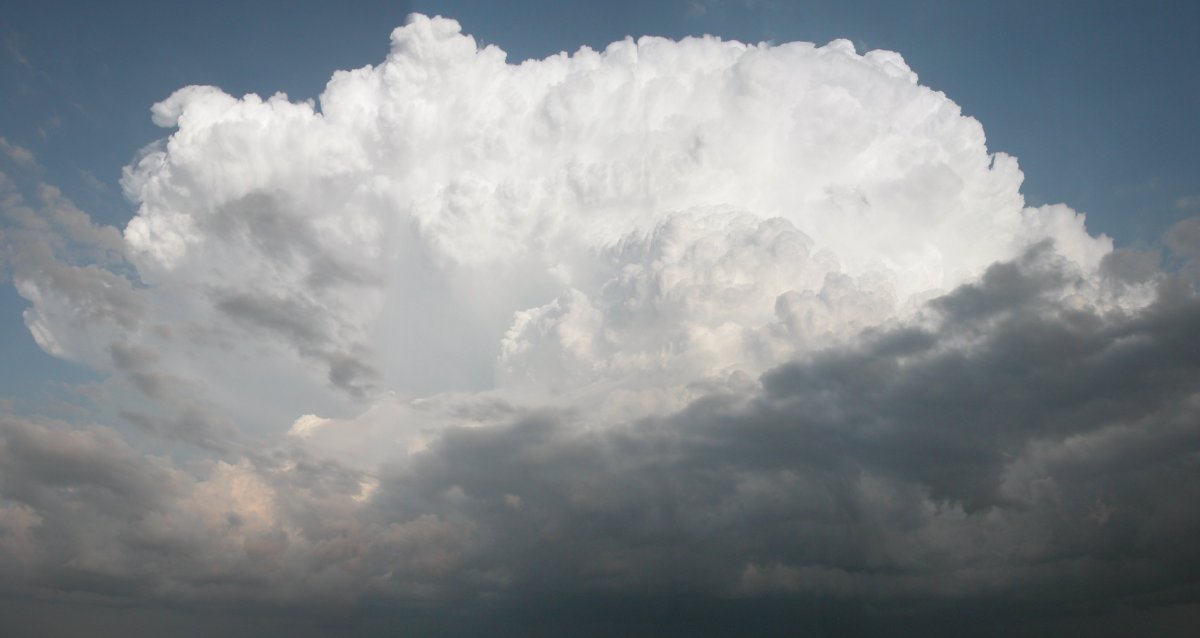
cruising north on I-29 back to Grand Forks. The monster tower with overshooting
top was still lit by the setting sun as I poured some liguid gold in
the tank. The moon was sitting just above the tower. There really was
something for everyone in the Red River Valley whether you chased in
the north, central or south. Estimated miles chasing: 200. This chase
at least puts 2006 on the map for me. Congrats to all chasers in the
Red Valley Saturday evening.