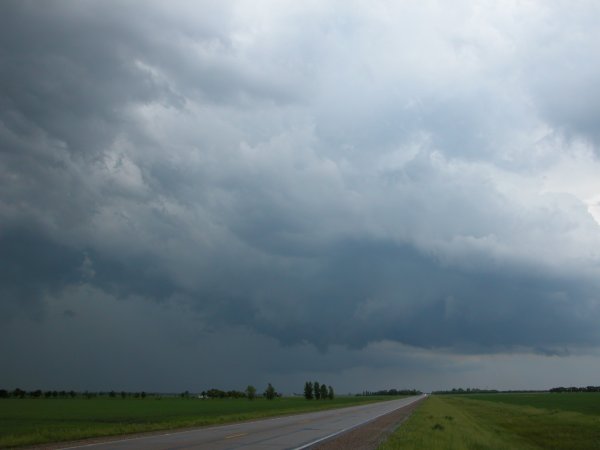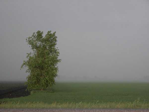
Left: Near Crookston, MN Wind break barely discernable through blinding rain. Right: An interseting feature develops with new convection southeast of Crookston.
Crookston, MN & Grand Forks, ND - June 5, 2006
| It's my birthday. Let's chase! I initially chased an early afternoon cell near Grand Forks that quickly fizzled out. As I was heading south on MN220 the old car transmission failed beyond first gear. It was a slow 10 mile jog back home at 15-20 mph at some high very high RPM. They call it Mopar because you need mo parts. I made it back home and my chase pal and co-worker Adam was waiting there to make sure I made it back. We both noticed another cell going up like a rocket southeast of town (where I would have been if I had a lime instead of a lemon). We opted to take the "gentleman's chase" (a chase close to home) and stopped in Crookston, MN when it was apparent the storms were linear junk. I regret not getting pics of the backside of the towers before the rapidly westward advancing anvil ruined the show as the view was spectacular. I was dropped off back home less than two hours after leaving and then had a birthday meal with my wife knowing there was a cell a good 100 plus miles west of town along the primary trough. I didn't give it much thought as the other car has the donut spare tire on it after getting a flat over the weekend. A couple hours later the FGF NWS office issued a tornado warning for the cell. Feeling more comfortable taking the donut just outside of town, I take the 15 minute drive to near the GFK airport and eventually meet up with Adam again. We took a few dozen photos of this modestly sculpted storm as it approached Grand Forks. The storm eventually gusted out producing a big rain foot and 59 mph wind gust at one of the RWIS sites on the northwest side of town. After taking a few pics of this feature I realize left my phone somewhere. It was a short backtrack west to the last stop and a wet phone and ND Gazeteer were waiting for me. Fortunately the phone was still in working order and the map in reasonable shape. One word from the Patsy Cline collection to define the day: "Crazy". (Click images to enlarge) |
|
Left: Near Crookston, MN Wind break barely discernable through blinding rain. Right: An interseting feature develops with new convection southeast of Crookston. |
|
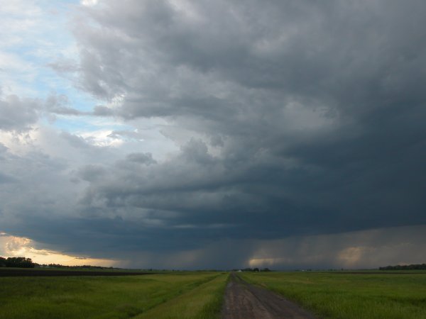
Left: Last view of the storm near Crookston. A fun storm but not overly impressive. Right: South side of developing supercell over Emerado, ND. |
|
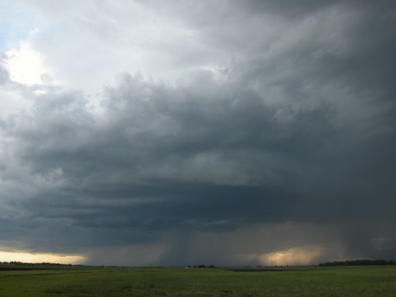
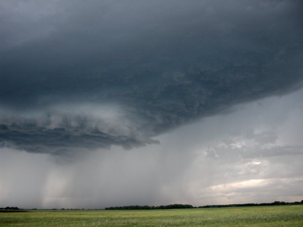
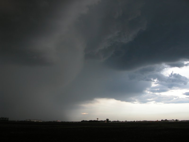
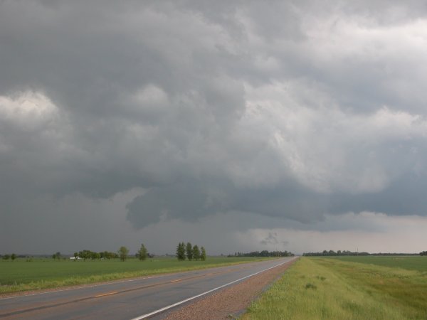
Left and right: Parked along the west side of the Grand Forks airport looking west as the storm starts to take a little shape. This feature was exhibing modest rotation. |
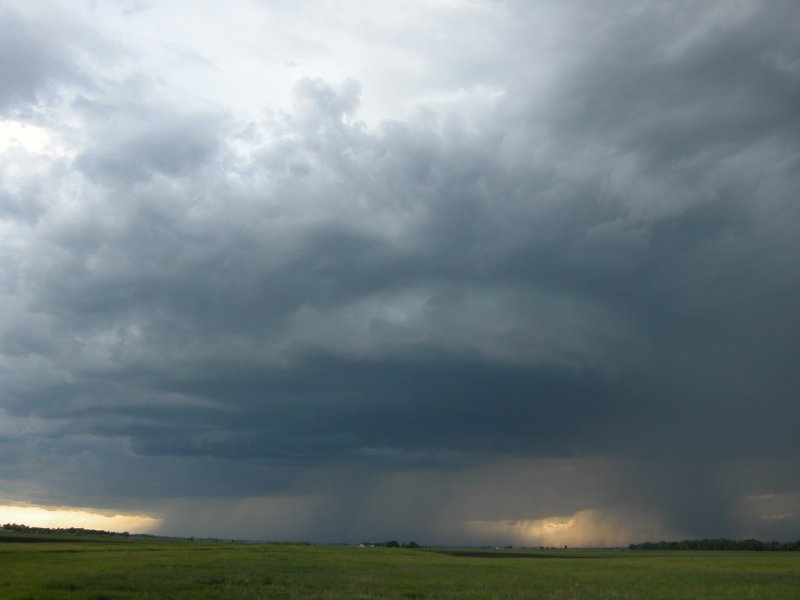
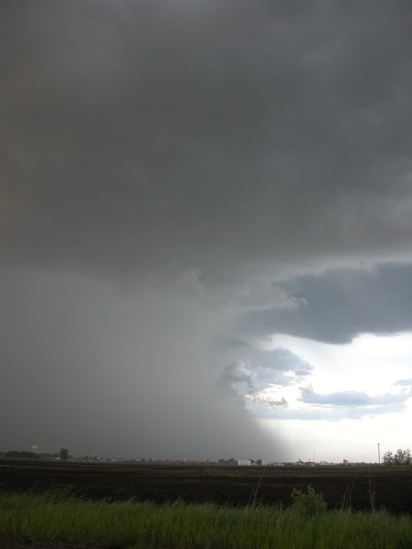
Left: Still near the airport as the storm tightens a bit. Right: The storm gusts out launching a shield of rain ahead of the storm. An RWIS sensor on the northwest side of Grand Forks reported a 59 mph gust at the time this image was captured.
Rainfoot envelops the north end of Grand Forks.
|