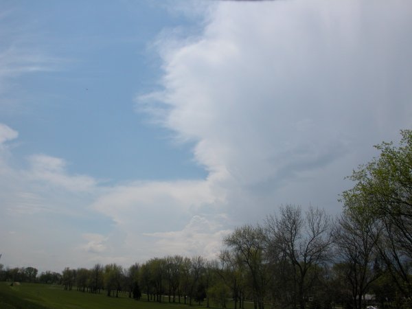
Sitting on the levee near the golf course on Belmont. Storms are firing to the west. Wishing I had my car at this point but you take what you can get.
Grand Forks, ND - May 9, 2006
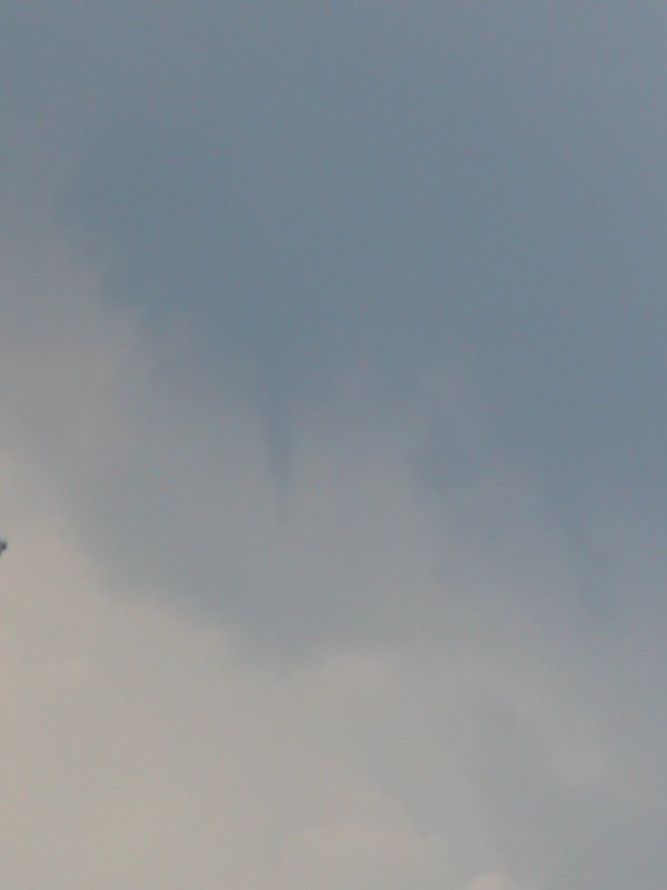
| Wouldn't you know it; my car is in the shop and some storms pop up shortly after noon. I grab my camera and get on the mountain bike and take the short hop to just about the highest point in town on the river levee. The storms were only about 20 miles away when I left. I sat there for a good 45 minutes and the storms didn't seem to get a lot closer. Once the sun faded behind the clouds the storm stated showing some true color and contrast. This was not a "beast" per say but still a neat little storm for early May in the "Great White North". I decided to head for the main drag to get away from the trees as they are still annoying even when you are at eye level to the canopy. The storm wasn't producing much lighning but the sky was fairly dark for early afternoon. There was a hint of green so some small hail was a possibility. The surprise came north of the main cell. I was looking just west of north up near the Kmart on Washington Street. A little funnel cloud poked out of an area where you really wouldn't expect one. |
|
Sitting on the levee near the golf course on Belmont. Storms are firing to the west. Wishing I had my car at this point but you take what you can get. |
|
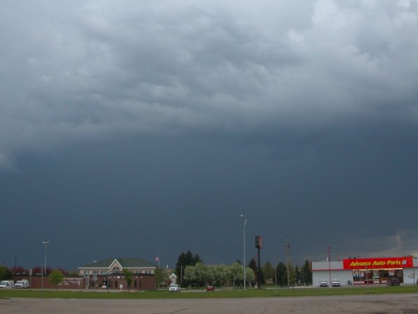
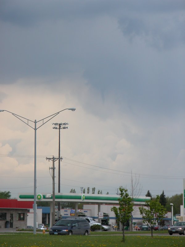
Left: Looking west-northwest from the levee. Right: Looking west-southwest at the primary cell from near 24th and Washington. The photo doesn't show the light tinge of green this cell had. The photo was cropped as the Nikon Coolpix 5700 lens clearly has some barrel effect. |
Left: A little funnel develops north of the primary cell. Time to bring back the "cold-air funnel" debate. Right: Zoomed in 8x optical + 2x digital on the small funnel. |