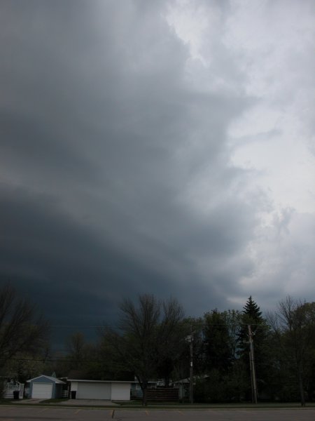
View of shelf cloud looking west near 17th Ave and Washington St S.
Grand Forks, ND - May 7, 2006
|
It was the first storm of any real significance this year for the city of Grand Forks. That said, this was still not all that significant. A line of storms formed along a cold front in Central North Dakota. These storms gradually moved east through the afternoon. A few severe storm warnings were issued early in the life cycle. When the storms were within an hour drive from town I decided to get out and take a peak. The storms were less visually appealing then expected but did produce more lightning than expected. I didn't take any photos until I made it back to Grand Forks. It was at this time that the storms began to look a little more appealing to the eye and also on radar. (Click images to enlarge) |
|
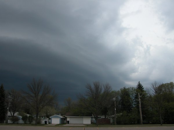
View of shelf cloud looking west near 17th Ave and Washington St S. |
|
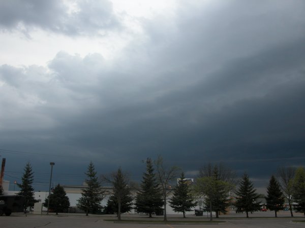
Shelf cloud to the north of the Holy Family Catholic Church parking lot. |
|
Horizontal view of above. |