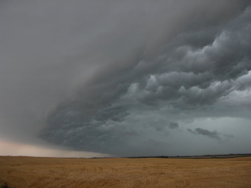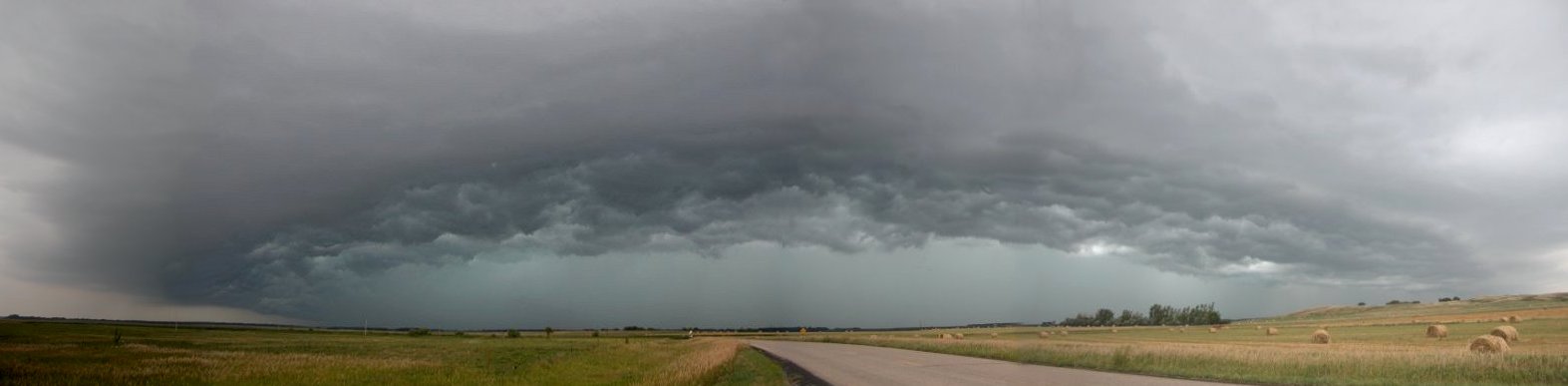
A view of the shelf cloud. Several photos were taken and then stitched together using Paint Shop Pro to produce this image.
Page, ND - August 17, 2005
| This was the day before all the tornadoes hit Wisconsin. I was looking to get in at least one August chase this year and here was my chance. A gallon of regular unleaded was $2.59 so I was happy to have co-workers Matt and Adam ride along and share costs. We left Grand Forks around 3:30 pm and headed in the general area of convection near Jamestown, ND. There was limited time as I had to be at work for an 8pm shift. We were hoping a storm would fire further northeast along the warm front but that was not the case. After about an hour and fourty minutes driving we approached the Sheyenne River west of Page and the shelf cloud from the storm approached us. We stopped along side the road and took a number of photographs. When the precipitation core got closer we simply headed east to get back in front of it and take more photos. A tornado warning was issued in the Valley City area as the radar was indicating rotation on the south side of a small bow segment. There may have been a weak elevated funnel in the area. After one more stop east of Page we decided to call it a day since the storm was falling apart and I had to get to work. (Click images to enlarge) |
|
A view of the shelf cloud. Several photos were taken and then stitched together using Paint Shop Pro to produce this image. |
|
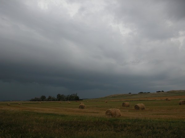
Left: The storm moves toward a hay field. Right: A scene reminiscent of the Independence Day movie. |
|
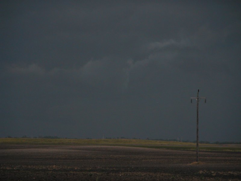
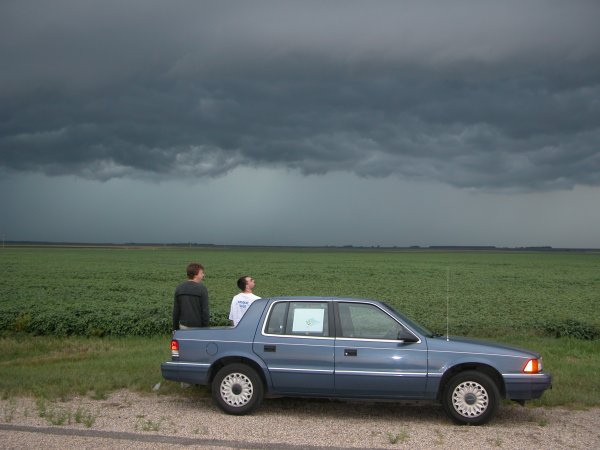
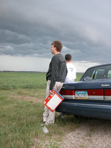
Left: Near the center of the photo, a possible weak elevated funnel near Valley City. Right: Partners Adam (left) and Matt (right) take one last look at the storm. |
|
Time to go home. |