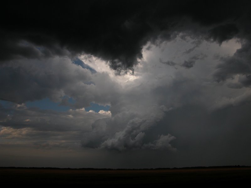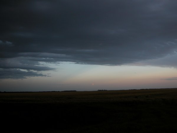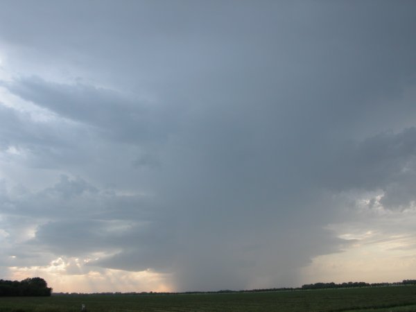
Left and right: The first cell that fired up which at this point appeared rather elevated.
Oslo- Argyle, MN - July 19, 2005
|
This was a local chase of opportunity. I spent the morning in Delano, MN getting ready to head back to home in Grand Forks. After a quick glance at the SPC outlook and some model data I figured there would be a chance of some severe storms close to home. I made it back around 5pm and took a glance at the satellite where the frontal boundary was beginning to become more apparent. I told my wife that a storm might pop soon and I'd be getting a closer look. At around 7:00, a respectable cell appeared on radar. I waited for a couple more volume scans to get a sense of direction and I was out the door. I headed north on MN 220 out of East Grand Forks. I eventually entered the town of Oslo and realized I went a little too far west... so back east and then north again on 220. The storms initially appeared elevated but after driving about 10 miles north on 220 the storms appeared to be getting more surface based. I dashed a few miles east on County 4 and parked for a couple minutes. My co-worker Adam who I called a while earlier gave me a buzz and asked about the storm. I hear a "Oh s---! Stop sign" and looked over my shoulder to see him make a quick stop (cell phones are a huge driving distraction). We chatted about the storm while viewing a bright rainbow behind the green and grey cloud mass. We drove east a few miles to get closer to a lowering but the storm was not panning out for us. Fortunately, another beast of a cell developed just to our west so we backtracked to County 4 & 10 and watched. There were plenty of GCs and mosquitos. Hopefully thousands of those blood sucking pests met their maker courtesy of mother nature's bug zapper. At this moment the sky was filled with various color including a pink lowering. After a brief discussion on what we were seeing we decided to head back home. Bambi nearly took a direct hit about ten miles north of East Grand Forks. If not for a quick break application I'd be eating venison for the rest of the month. (Click images to enlarge) |
|
Left and right: The first cell that fired up which at this point appeared rather elevated. |
|
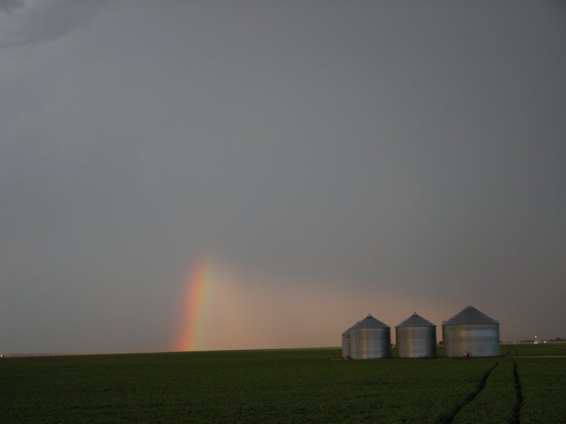
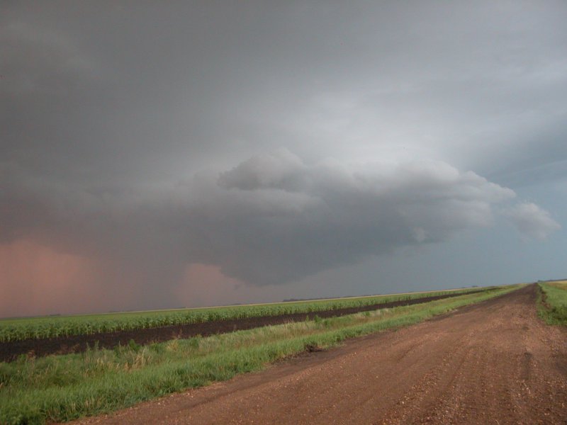
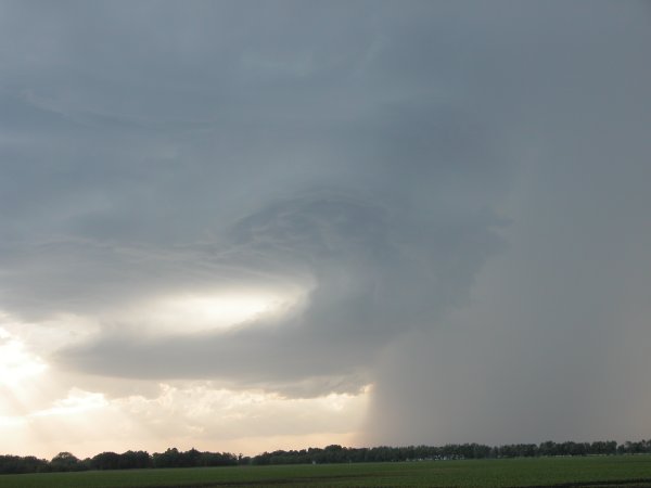
Left: The storms are beginning to look more surface based. Right: Bright rainbow looking east from County 10 & 4. |
|
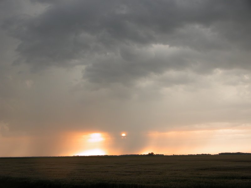
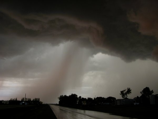
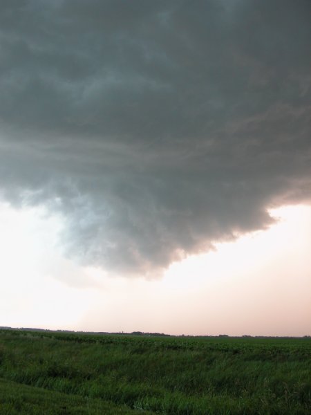
Left: Just west of Argyle looking west at rain filtered sun. Right: Neat looking cloud structure with plenty of motion. |
Left: The moon is now visible. Right: Another burst of rain and hail just north of County 10 & 4 interesction. |
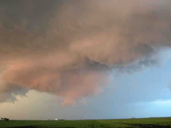
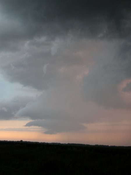
Left: Pink blob with green hue in the background.. Right: Same feature on left only further east. If this was a wall cloud it did not show any rapid rotation. |
|
 |