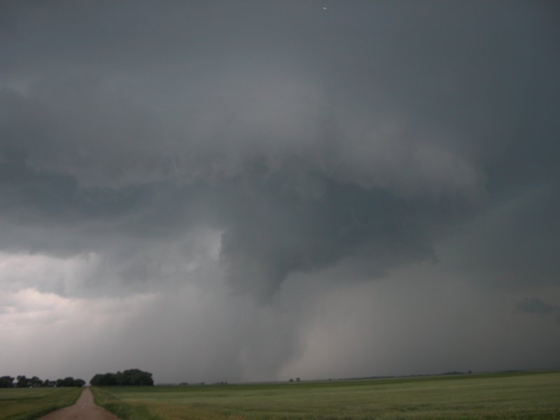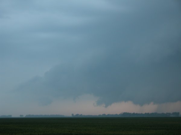
Left: Old inflow tail. Right: New area of rotation develops somwhere east of Frederick, SD.
Barnard, SD - Foreman, ND - June 26, 2005
|
This severe weather threat day was advertised well in advance. Like many of these days, a nocturnal MCS did a number on the surface flow and pushed my target area further south... almost far enough south to consider staying home. I called co-worker Adam Lowe during the morning to see if he wanted to ride shot-gun. No problem and after completing some forecast products at the office I was able to hit the freeway around 2:45pm. Adam and I stopped in the dinky town of Alice, ND to stretch and check some data. There was not much happening yet but there were two boundaries to watch. Keeping some model data and target area in mind we headed toward U.S. 281. After a gas stop it became apparent the the cell west of Aberdeen was going to be the best play. The cell was still a solid 45 minutes away when it really started to crank up. When we were 20 miles out I checked the radar on my phone (using Pilot MyCast ) and got excited when I noticed the cell had several supercellular charictaristics including the flying eagle, hook echo, and rear flank downdraft boundary. Once we crossed the border we were in a Verizon data hole, a weather radio hole, and without my South Dakota Gazeteer. Going strictly on visual... the old fashioned way. Fortunately we merely zig-zagged our way across roads covered by the North Dakota Gazeteer. (Click images to enlarge) |
|
Left: Old inflow tail. Right: New area of rotation develops somwhere east of Frederick, SD. |
|
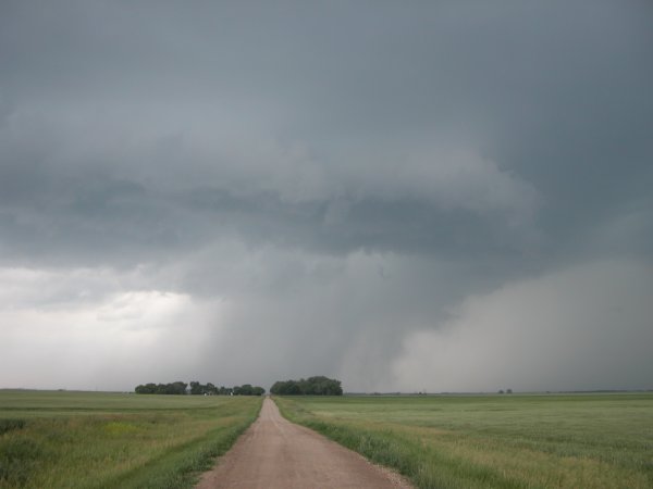
Left: From same circulation in top right. Is it a tornado? It's definately a funnel! Right: Funnel cloud narrows. |
|
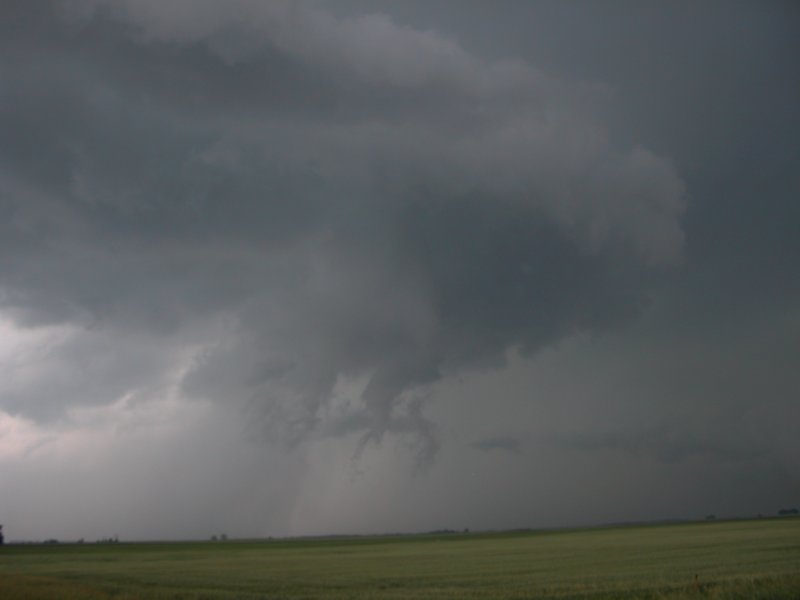
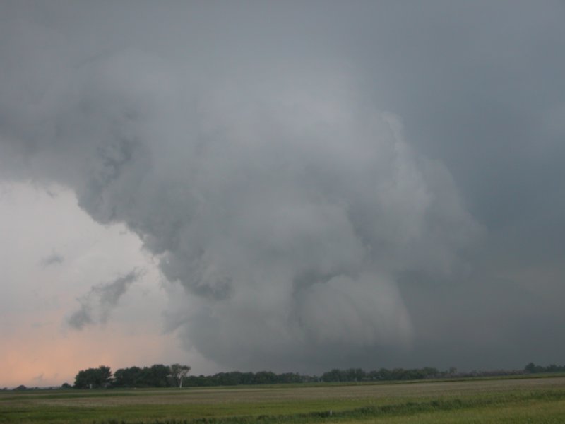
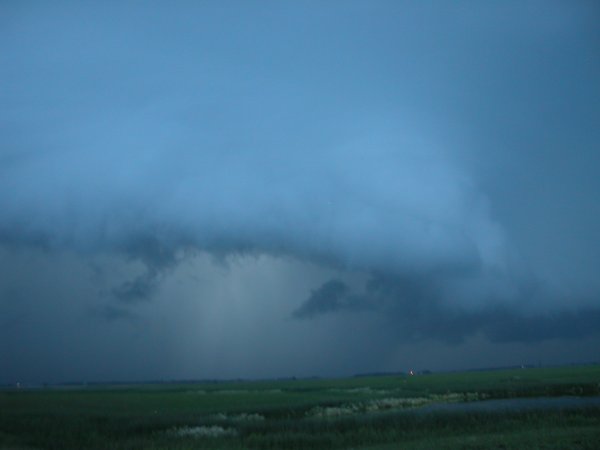
Left: Very long beaver tail. Right: Rotating updraft getting ready to occlude. |
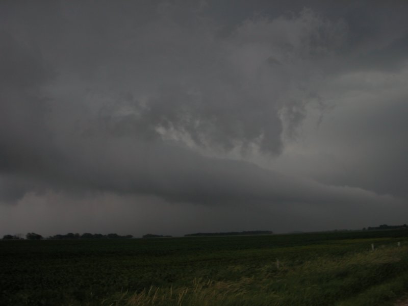
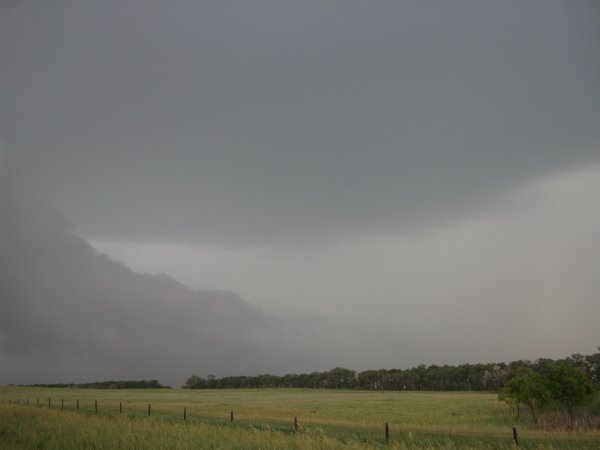
Left: Shelf. Right: The green death near Foreman, ND. |