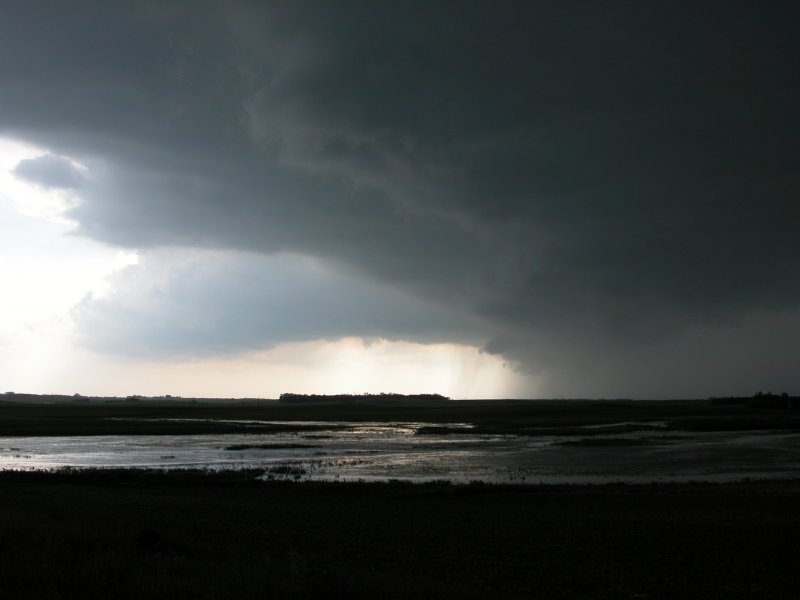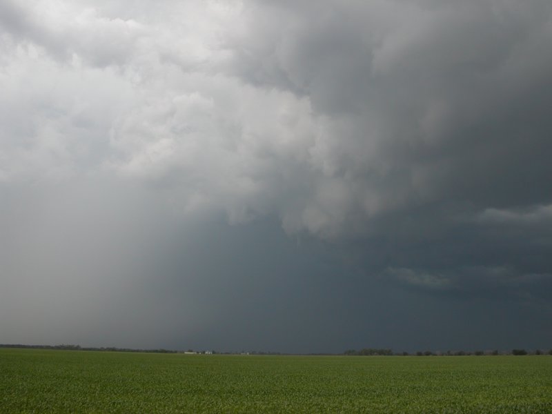
Left: Large shelf bearing down on me as I dive south from the town of Michigan. Right: Large gustnado near McVille.
Cooperstown - Hillsboro, ND - June 23, 2005
|
Just about everyone at work was a little excited to see some big storms along the cold front. After an early afternoon with temperatures in the 90s and dewpoints in the upper 70s we also were looking forward to cooling rains. Shortly after 2pm I could see a few subtle changes on visible satelite that indicated storms may begin to pop. Shortly thereafter, a small cell popped up near Devils Lake. It became a large cell just moments later. It was time to cut to the chase. I left Grand Forks proceeding westbound on Hwy 2. After about 40 or 50 miles I realized I was going to get cored if I didn't head south so I dove south from the town of Michigan toward the little town of McVille. Somewhere in between these two towns was a large 100+ yard wide gustnado. I ended up on dirt roads beyond McVille as I continued my progression south. I was finally able to see some structure including an RFD notch and lowering but I couldn't watch for more than a moment as the hail core continued track me down. Continuing east out of Cooperstown on a mix of paved and unpaved roads toward the town of Finley, I encountered the hail core (up to quarter size before I got out of there) and abruptly turned around and dived south. A caravan of chase vehicles flew out of there as well. One group stopped at the side of the so I stopped and said hello before they continued on. I opted to head east and ended up in the town of Hope. This was when the storm warpped up a little to provide a couple nice photos and also a small funnel. I eventually ended up in Hillsboro to snap a couple pics of the courthouse. Being low on gas and seeing what I thought would be all I would see, I opted to head back home only 40 miles away. Two co-workers apparently took the northern cell after the split but they cannot confirm any tornadoes either. (Click images to enlarge) |
|
Left: Large shelf bearing down on me as I dive south from the town of Michigan. Right: Large gustnado near McVille. |
|
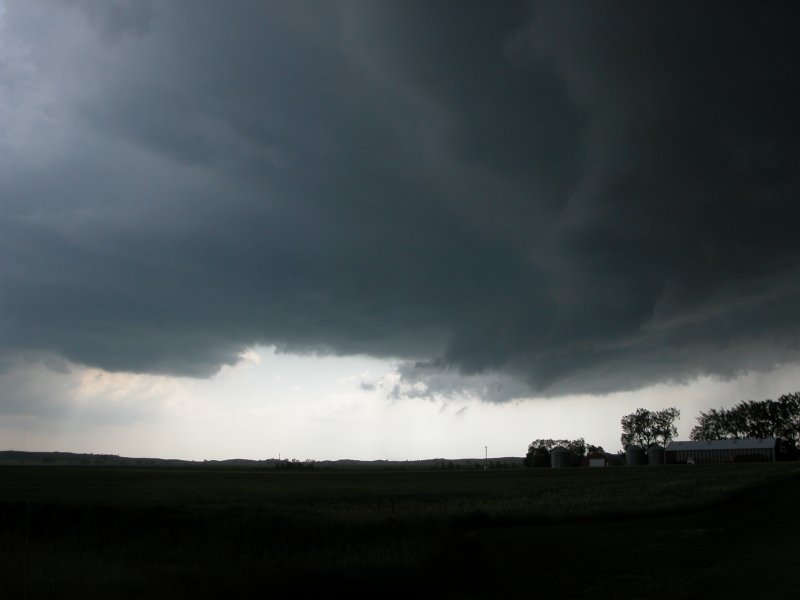
Left: Possible funnel just right of center. Also note what appears to be the RFD cut in the center. Right: A busy photo... same as left only a few miles closer to the fun. |
|
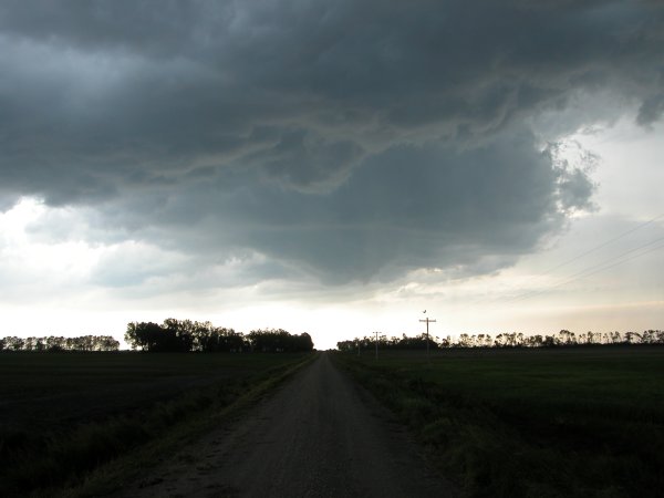
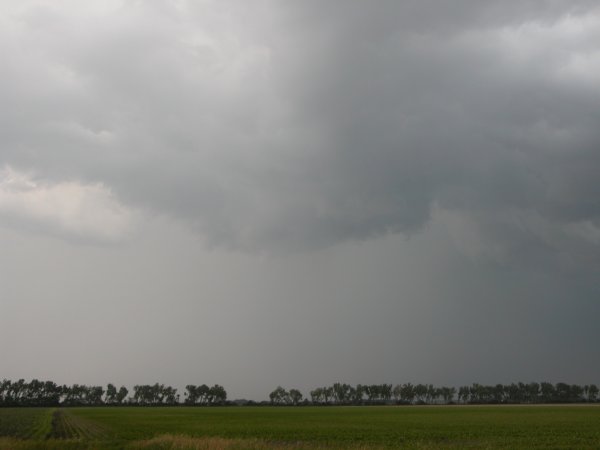
Left: Strange looking wall cloud with apparent funnel near center of the image. Right: Poorly defined wall cloud. |
|
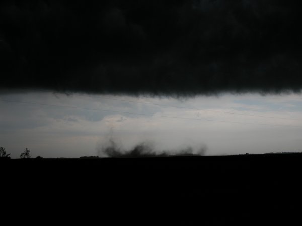
Needle funnel near in the center with hair core on the left. |
|
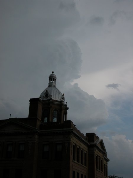
The beautiful Traill County courthouse with spectacular convection in the background. |