Thief River Falls, MN - May 21, 2005
The model advertised set-up for this day looked pretty
good a day beforehand. The primary question was would there be enough heating
in the wake of a morning MCS to provide the necessary instability to go
with the shear. There indeed was some clearing/heating but far from ideal.
The low-level shear also decreased as surface winds turned more toward the
southwest ahead of the cold front. I went to the office around 1pm and looked
over data for a while. I told my co-worker Adam if he got the Minnesota
forecast out before the storms got going than he could come along. I patiently
waited while watching the boundary on radar gradually get closer to Grand
Forks. I did not want to rush and drive blindly toward a target potentially
wasting fuel. At about 2:30 there were some towers starting to go up. The
first solid (~40 dbz) echo appeared on a cell about 15 miles northeast of
town at about 2:40. Adam completed his forecast by 2:50 and we were out
the door. We had two options: 1. Drive up the
freeway and thereby avoiding a solid 10 to 15 minute delay driving through
town, and then go east toward the better looking cell, or 2,
drive east through town on U.S. 2 and lose the 10 to 15 minutes, but also
heading toward a developing cell. We decided on option 1 and proceeded up
I-29 to the first eastbound exit. We progreesed east on State Hwy 1 through
the town of Warren, MN. We quickly caught up to the line of thunderstorms.
Each individual updraft base was visible but the cells were lining out rather
quickly. Storm structure was also not very impressive. I arrived back home
in time for early dinner. I later found out that there was possible tornado
damage near Crookston, MN. This would have been were we would have gone
had we taken option 2. The FGF NWS office stated the damage was indicative
of F2 damage. As far as I know, there was no tornado warning out at the
time. I doubt the forecasters were sleeping so either the rotation appearing
on radar was small, weak, short lived, or under the beam... which would
be more indicative of a non-mesocyclone tornado, commonly called a landspout.
Assuming this is the case, than I don't feel bad for missing this minor
event as capturing it would have taken a lot more luck than forecasting
skill or chase strategy. |
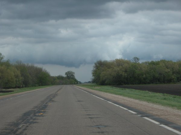
Back side of storm about 8 miles east of Warren, MN. This feature exhibited minor rotation.