Wahoo, Nebraska - August 3, 2004
This was a highly anticipated chase day several days out.
The main trick was figuring out where the boundary would set-up in the afternoon
hours. The ETA computer model changed the location of the frontal boundary
somewhat drastically each run. Given the storm track from previous days
was through northeast Nebraska, I figured this day would not differ too
much either. It seems the "ring of fire" moves little once the
pattern is entrenched. After a morning rendezvous with fellow chasers James,
his companion Steve, and Kyle we were on the road a little before 1pm. We
took the short drive to Wahoo for lunch and then made a library stop. After
examining the surface chart we figured we would not need to go any further
north but maybe drift west a bit to get closer to the surface circulation
center. We proceeded west about 50 miles and stopped in the neat small
town of Osceola to wait for the action. The bank thermometer reached
98°F and the dewpoint was about 75°F making for a rather uncomfortable
afternoon. Fortunately, the courthouse offered rather cool air conditioned
atmosphere. After about an hour we decided to get out of town to get a better
look at the sky in all directions. I noticed rapid moisture convergence
in the sky and figured we were about 45 minutes and 20-30 miles from the
action. We went west a few miles to get out of the low cloud deck. A wheel
vibration was getting worse so we pulled off on a county road to give it
a look. Sure enough, a lugnut was broken on the left front of James' new
ride and the others were loose. A quick tightening and discussion with a
local farmer and away we went, back east to explore the deepening convection.
The first severe warning was issued about 15 minutes later for a cell about
30 miles to our northeast. We simply maintained an eastward heading on Hwy
92. The sky started to become ugly near Wahoo where some rotation was noted,
albeit rather briefly. We managed to stay on the southern flank until we
hit the extreme western outskirts of Omaha. The rain was falling so hard
that we couldn't read the road signs and ended up taking the wrong fork
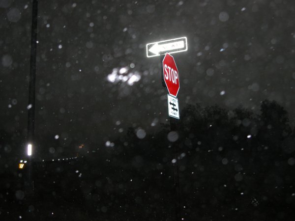
of U.S. 275 and went into the core of wind, rain, and small hail. The highlight
of the day was witnessing road sign "advection". Fortunately we
didn't get struck by flying debris. The lowlight of the chase was when some
dumb driver decided he/she would stop in the middle of the road despite
the fact there was a shoulder wide enough to park a semi on. Nebraska drivers!
The storm was entirely outflow dominant and the chase was essentially done.
We did note some flanking towers to the west and opted to take the long
way home to explore. Not much to see. We did notice significant tree and
crop damage between Wahoo and Fremont.
|
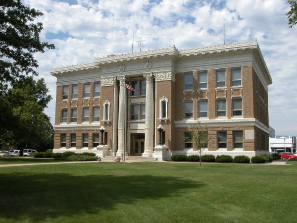
Left: Traditional starting point at a county seat. This time it was Polk Co., NE. Right: Looking east at first sign of convection.
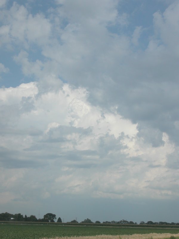
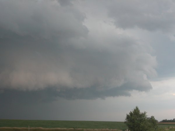
Left: Looking east while on the road at bubbling convection. Right: Things start looking interesting west of Wahoo.
The storm blackens the sky.