Photos of the Day: The Green Machine and the Waverly Tornado (video capture)
Valpraiso/Ceresco/Lincoln - June 13, 2004
This was the most spectacular supercell I've ever
witnessed... I actually had to head south of Lincoln to visit with an indidual
before I could do anything. Not expecting tornadoes but thinking some nice
storms could fire, I grabbed my camera and wx radio. I left what remains
of Hallam, NE toward U.S. 77 and proceeded north to I-80. A quick shot east
before heading north on I-180/U.S.34 and I turned north on H79 toward Valpraiso.
I parked on a hill to watch the storm which was now severe warned. It looked
marginal at first with cool outflow from the precipitation core. I could
see the green clouds and bands of rain moving toward me so I got back in
the car and went south through Valpraiso and then went east on CR-A toward
Ceresco. The wx radio stated Ceresco was in the path of this storm but I
figured it would get clipped as I thought the storm was moving east. I didn't
realize the storm was taking a very hard right turn (moving southeast) and
moving right toward me. I figured just severe hail was the primary threat
but then hear tornado warning on the radio... Hail began to fall heavily
which told me it was time to ignore all posted speed limits and get the
heck out of there. Even the fire and rescue storm spotter behind me was
hauling and probably wishing I went even faster. I made it through Ceresco
and gave the gas station a quick glance as a potential car shelter but decided
with a possible tornado developing I was going to go south. After driving
several miles ahead of the hail core I stopped to take few pics and quick
chatted with a gal filming the storm (funny how I told her the storm looked
like it wouldn't produce but she should beware of large hail. She just stood
there ignoring my safety warning probably thinking, "shut-up, I'm filming")
and then the quarters started falling again... back south to escape the
hail. I found another hill that looked like it would escape the hail and
started taking as many pictures as I could, noting that the clouds were
the most green I've ever seen. Also, at this point there was very warm inflow.
The clouds began rotating so violently I decided to try the one minute movie
feature on my digital camera. As I filmed the massive rotating beast I noticed
a cone descend toward the ground. The last ten seconds of the video captured
this well. The tornado moved to the southeast and out of view. I drifted
east slightly and caught another glimpse of the funnel but it rain wrapped
too quickly for a worthwhile shot. Realizing this monster was moving toward
Interstate 80 I phoned OAX to report large rain wrapped funnel that was
moving toward the freeway. I also noted that the RFD was rocking the car.
After reviewing my video, the tornado was certainly on the ground and a
good quarter mile wide or larger. The cell continued to progress southeast
and I called off the chase as I would have had to plow through Lincoln traffic
to catch up. It is interesting to note how many people were out of their
vehicles watching the storm. I ponder how many of them realized what was
happening. I also wonder what the folks driving toward the storm on 77 were
thinking.
Click images for larger version
Photos of the Day: The Green Machine and the Waverly Tornado (video capture) |
|
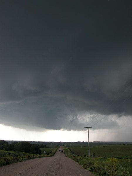
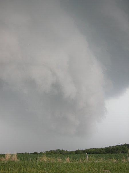
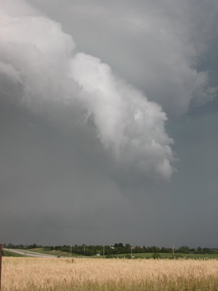
Left and Center: Looking west on road just north of Valpraiso. Right: Same position looking southeast at the anvil. |
|
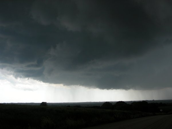
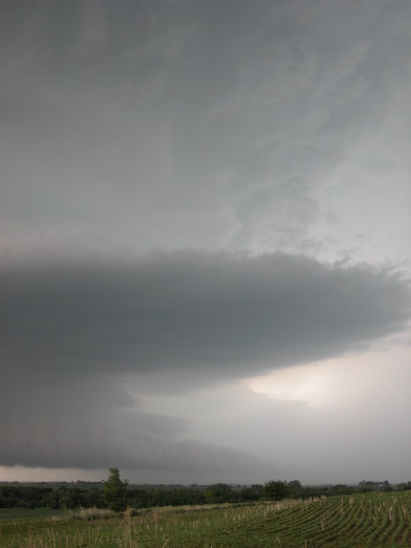
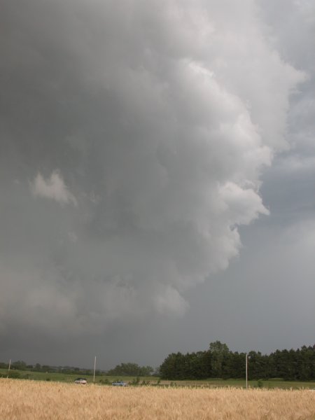
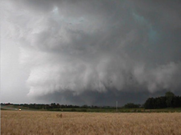
Left: The shark is getting ready to bite my... Center: Very low shelf cloud. Right: Magnificent storm structure, looking northwest betweenLincoln and Cerseco. |
|
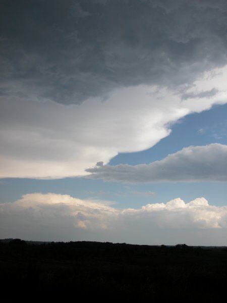
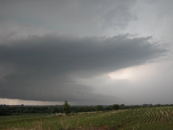
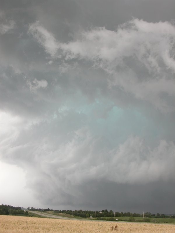
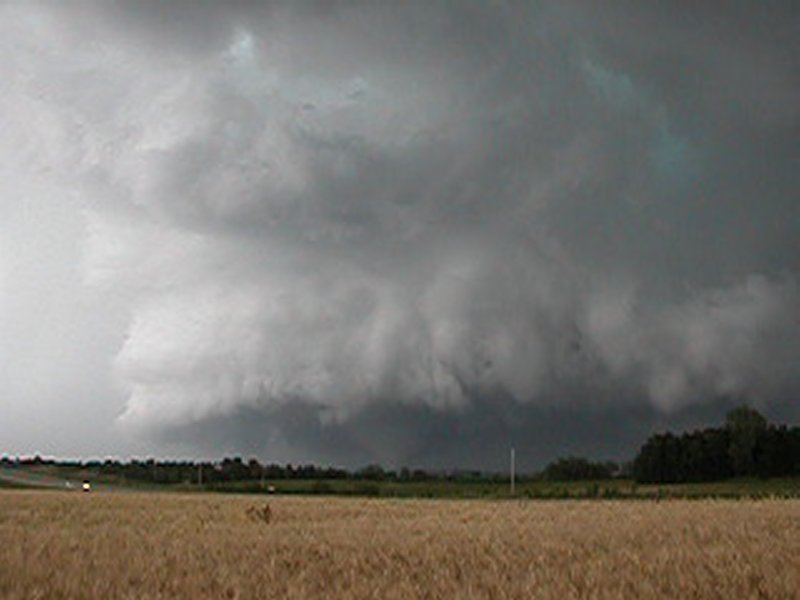
Left: Same view as above. Center and Right: The leading edge of the mesocyclone. |
The Chase Continues: Click for more wild chase photos
Tornado develops near Waverly, NE60 seconds 7.8 MB Real
Player |