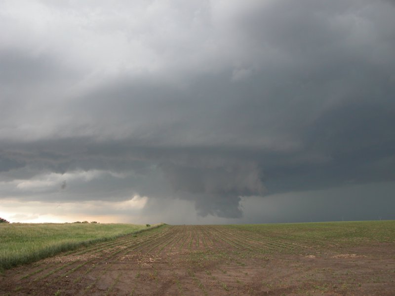
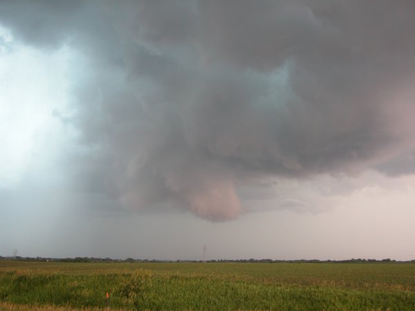
Photo of the Day: Wall cloud about five miles west of Wilber
Wilber - Superior, NE - June 12, 2004
This was somewhat of an ad hoc chase day. University
of Nebraska professor Ken Dewey took me into what is left of the town of
Hallam to meet with clean-up operations. A cell to the west quickly became
severe and the town was evacuated as no viable shelter remains after the
massive F4 tornado on May 22. We drove to the Lancaster County Emergency
Operations Center and assisted with storm monitoring for a good hour until
the severe threat exited the county. After looking at some data I told the
EM that more storms were likely after 4pm and keep the spotters ready. The
professor and I picked up James and headed toward U.S. 136. We decided to
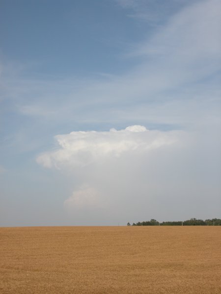
turn west toward Wilber instead as a healthy cell was taking shape. We went
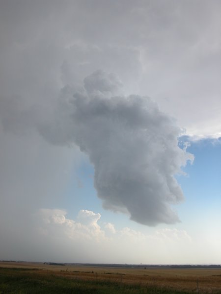
just past Wilber and watched a fascinating wall cloud. The cloud was very
low to the ground but couln't seem to really get going, possibly due to
relatively cool inflow into the storm. The morning convection strengthened
the boundary but may have left too much locally chilled air. Jeff Piotrowski
and other chasers eventually converged on our location. Thinking the storm
wouldn't produce we went west. The storms fired one after another and we
could see another wall cloud west of U.S. 81 where we abruptly turned south,
again thinking there would be too much cool air on the boundary to get tornadoes.
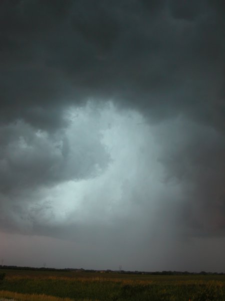
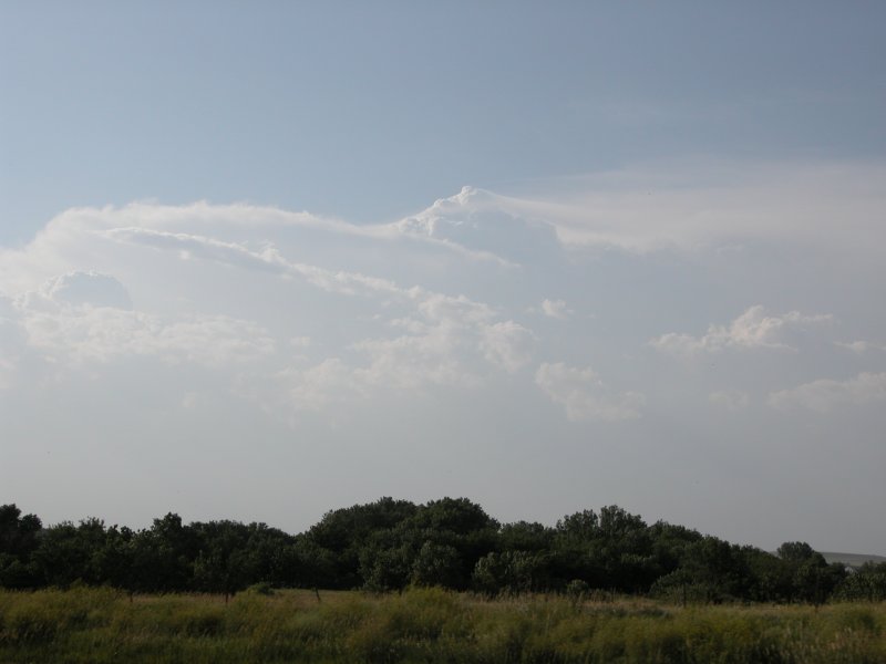
We followed Jeff into Kansas and watched a rather strange updraft of a severe
warned cell. The updraft resmebled an LP type that was very skinny but nevertheless
clearly rotating. Realizing that Kansas was not happening my crew went back
north and then west. We had fun with the outflow of severe warned cells
in Republic and Jewell counties and then proceeded north on H14 toward Superior,
NE. We parked right on the state line and photographed a very large and
spectacular field of mammatus. We then turned east on U.S. 136 taking the
occasional photo.
Click images for larger version
Photo of the Day: Wall cloud about five miles west of Wilber
|
Left and Right: Views of the wall cloud looking north from my location about five miles west of Wilber, NE. |
|
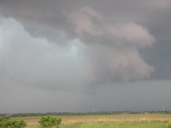
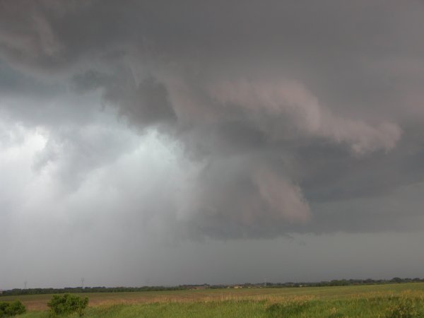
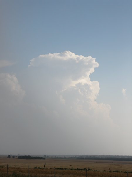
Left: The "Green Monster". Center: Another view of the wall cloud trying to organize. Right: Skinny rotating updraft near Minneapolis, KS. |
|
Left: Developing cell to my southwest. Center: View of the massive cell, looking north from Glasco, KS. Right: Looking east from near Glasco. |
The Chase Continues: Click for more chase photos including beautiful mammatus clouds.