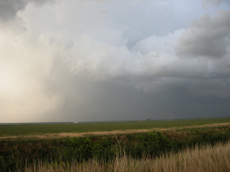
Photo of the Day: Cyclonic and anti-cyclonic funnel clouds along
with RFD north of Curtis, NE. (click image to enlarge)
Frontier County, Nebraska - June 10, 2004
My initial forecast target area about 36 hours out
was a McCook - North Platte - Lexington - Beaver City polygon. The morning
of the chase I targeted the small town of Eustis in Frontier County, Nebraska.
Chase comapnions this day included UNL professor Ken Dewey and a Lancaster
County storm spotter named Roger. We left Lincoln heading west on I-80 and
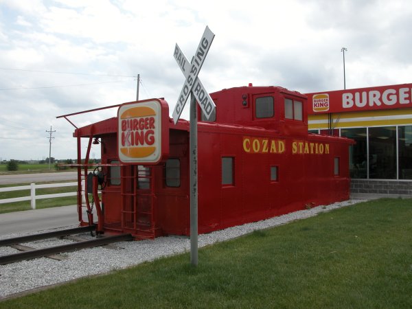
stopped for a meal at the Cozad BK for lunch. After making contacts with
other chasers we decided to head towards McCook and possibly meet with Jeff
Piotrowski. We stopped near Maywood and found out he was already barrelling
west toward the cell in northeast Colorado. We decided to stay put in our
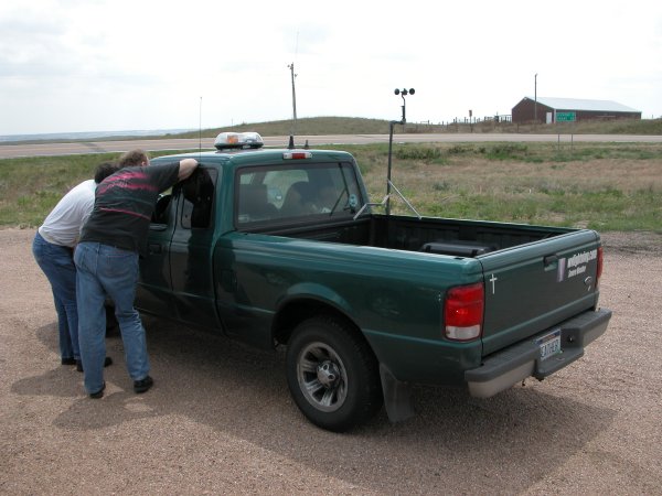
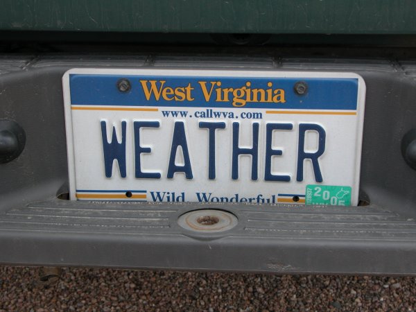
target area and met up with a West Virginia chaser named Dan (wvlightning)
who had the new XM Mobil Weather Threat in his truck. Since we were targeting
the same area we decided to hang out, chat, and wait. I kept saying, "It's
early (for convective initiation)" until about 5:30 when storms finally
started to pop in my area. We were in an excellent location and had to move
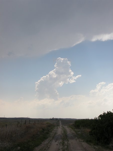
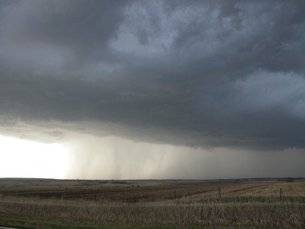
little over the next two plus hours. The first cell fizzled fast but the
second storm erupted and quickly became severe, followed by a tornado warning.
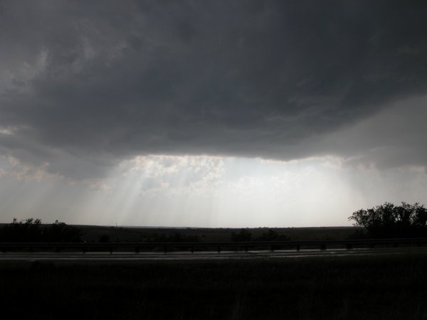
We watched the cell gain character as we gradually shifted position. At
one moment there was a small wall cloud to the north and a rainbow to the
southeast and we all took more photos of the rainbow. Heading east on H23
we again captured a truely amazing rainbow, possibly the best I've ever
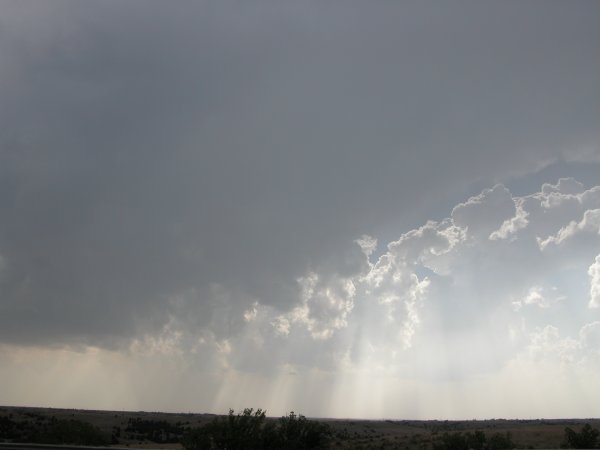
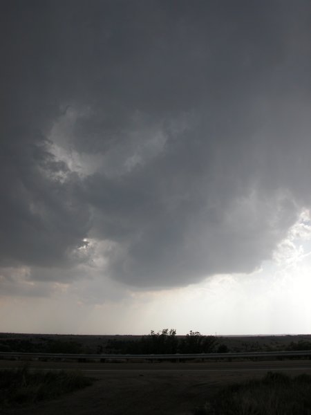
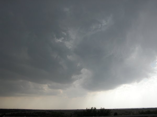
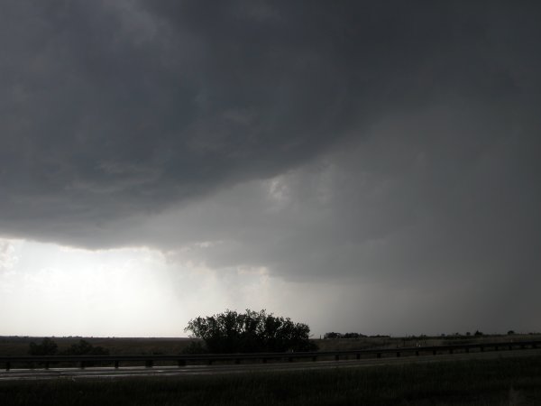
seen. We stopped in an area near Curtis to watch the storm cycle. The storm's
rotaion was amazing to watch. There was the typical cyclonic lowering as
well as the more unusual anti-cyclonic lowering. A condensation funnel did
quickly descend from the base but only reached about half way to the ground.
There was very mild chaser convergence at that location. More signicant
chaser converge occured just south of Gothenburg when the storm had pretty
much cycled through. By this time, it was getting dark and with storms to
our north and east we decided to stop at the same BK in Cozad for a late
meal. We then departed east on I-80 and punched the storm. It was dry on
the other side and we were able to see some really neat shelf structure
lit by the amazing lightning display. We got ahead of the system enough
to get gas without getting soaked. Severe warnings were out for all the
counties just tow our west. We continued moving east and noticed another
spectacular cell about 30 miles south of the freeway. I was glad to hear
live broadcast coverage of the tornado warnings from the cell. An applause
to the Hastings NWS office. The cell reamined south of the freeway and we
made it back to Lincoln without a drop.
Click images for larger version
Photo of the Day: Cyclonic and anti-cyclonic funnel clouds along
with RFD north of Curtis, NE. (click image to enlarge)
|
Left: The chase starts at the BK in Cozad, NE. Right: Ken and Roger check out Dan's XM Mobil Weather Threat Net. |
|
Left: Vanity plate from the truck in upper right. A long drive for a storm! Right: The first tower goes up (and later falls apart). |
|
Left: Lone turkey tower near Wellfleet, NE. Center: Near Wellfleet looking west at neat light display. Right: A cell begins to get healthy. |
|
Left: Same cell beginning to spin. Right: Same cell is beginning to get cranky. |
|
Left: The cell contiunues to organize. Right: Heavy rain and hail begin to fall. |
The Chase Continues: View More Photos from this Storm