James, Matt (UNL students) and I drove to Clay Center, NE from Lincoln.
We looked at data in the library and decided to go south one county. Big
towers went up fast to the south. We had choices to make in the town of
Superior (NE): east, west, or south? We went east
a few miles before realizing we would have to punch a nasty looking precip
core (we later heard on the radio that baseball hail fell where we parked)
We backtracked west a few miles back into Superior and then south into Kansas.
Our goal was to get to U.S. 36 and quickly head east to get on the south
side of the massive beast northwest of Concordia. We went south getting
ready to intercept the massive circular bomb but had to duck west as we
were getting slammed with hail. The road west took us out of the way a couple
miles but there was no use busting up a good car in the hail. This hail
avoidance likely caused us to miss the opportunity to see the tornadoes.
The cell moved north into NE so my crew went back north on 14 and then east
on 136 to intercept. Hind-sight tells me we should have stayed on U.S. 36.
Very heavy rain and tornado warnings all the way to Beatrice. We
did see the wall cloud but could never avoid the precipitation
core. We stopped at Pizza Hut in Beatrice and
then the sirens go off after the deep dish meat lovers lands on the table.
I go back to the car and grab the wx radio. It was
the same slow moving cell with another tornado warning 14 miles south of
the city. By this time, darkness fell and we
decided to go north to Lincoln and be done. Three SPC "high risks"
in a row with no tornado to photograph. It would seem I have my best luck
chasing storms on SPC "slight risk" days. Strange but true...
the "high risk" curse continues. These storms
had beautiful towers nonetheless. |
Click images for larger version.
|
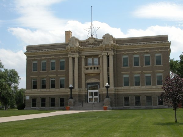
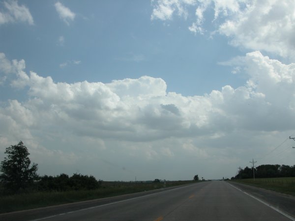
Left: Traditional chase start at a county seat. This time in Clay Center, Nebraska. Right: First sign of convection to the south. |
|
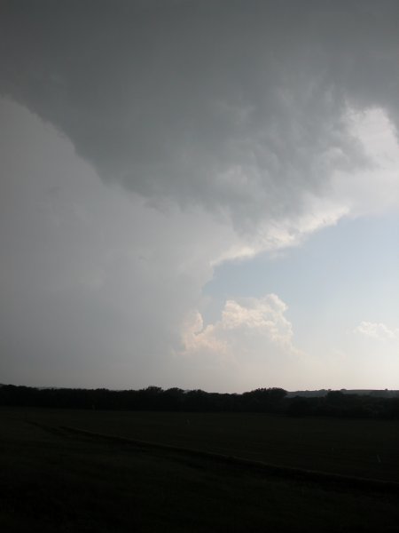
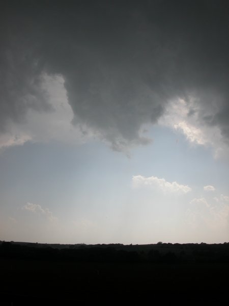
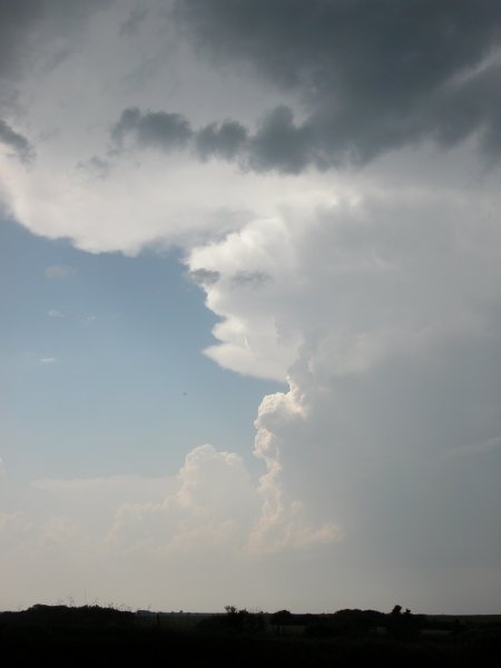
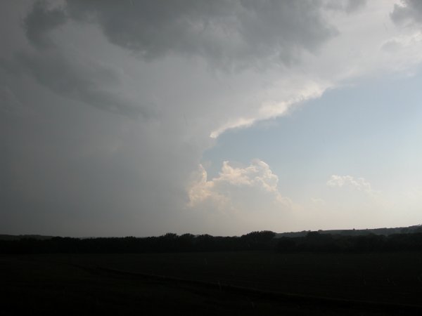
Left: A circlular bomb of a tower in Kansas that we couldn't punch to see the action on the other side (which was a tornado wonderland according to other chase accounts. Center: A little knob that wasn't too serious. Right: Beautiful tower to my northwest. |
|
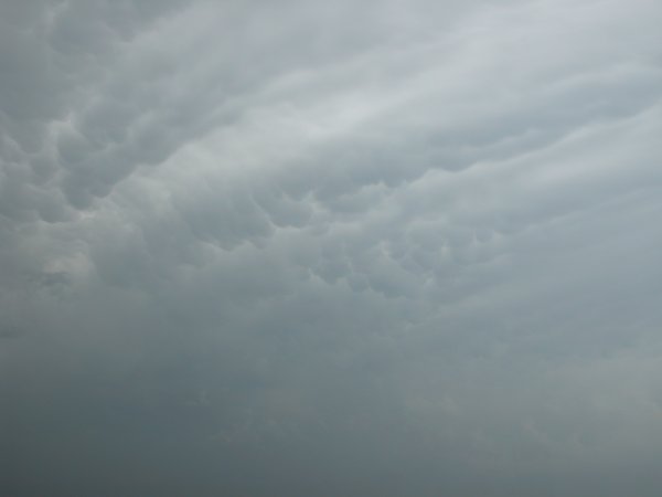
Left: Same monster storm in above left. Right: Mammatus clouds to the south. |

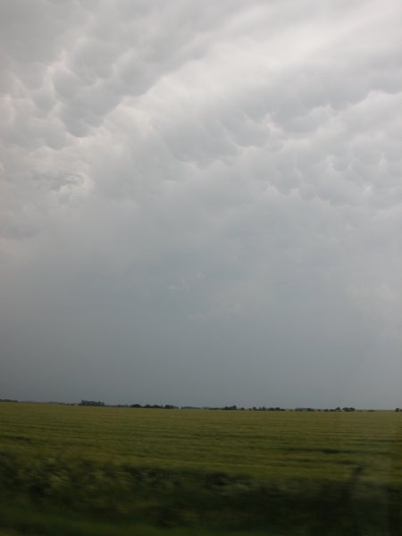
Left: Back to "The Good Life". Right: Mammatus to my east/southest near the NE/KS border.
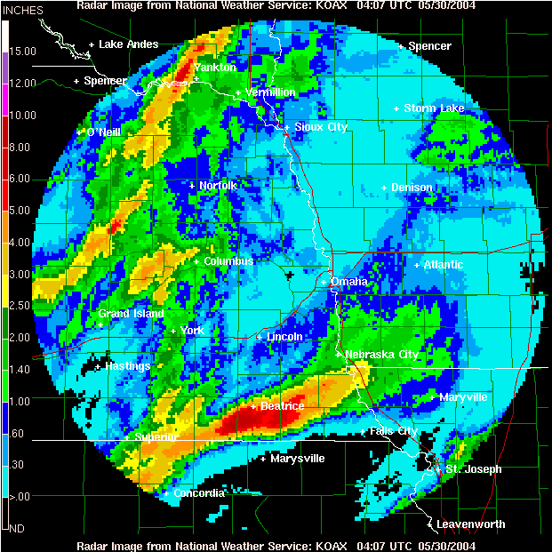
Precipitation estimates from the Omaha/Valley radar. Yes, we drove through much of that red area.