May 22, 2004 - Columbus to Wahoo, Nebraska
I invited my wife to chase storms on this day as she had never come along
in the past. We left Lincoln around 1 pm and headed toward Geneva,
NE. We had a late lunch at the local Pizza Hut and toured
town while waiting for the action. Matt, Adam, and Zach (UNL students)
met up with me in Geneva later. After a quick pit stop at the local grocery
store we were gone: heading north on U.S. 81 towrd York and eventually Columbus.
Towers were going up fast. I pulled over southwest of Columbus to snap a
few shots of a wall cloud. We continued up U.S. 81 and then went east on
NE64. The biggest mistake was leaving Schuyler on U.S. 30. Heading east,
the road surface was milled which allowed for a massive amount of water
to pond on the highway. After being pounded by wind, rain, and hail we decided
to get off the piece of #$@% U.S.
30 and head south. I began my turn south but didn't see the massive puddle
on the corner. I thought I was done but managed to trudge my car through.
Sure enough I hear "flash flood warning for Dodge County" on the
radio. Verified! We eventually pulled on to U.S. 77 and headed south. We
were aware of a nasty supercell just southwest of Lincoln which was where
we were headed. My main concern was getting home quickly as darkness was
falling fast. It would have been really neat to capture the storms just
south of Lincoln but it was very dark and not safe to punch the storm.
|
| |
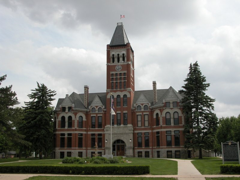
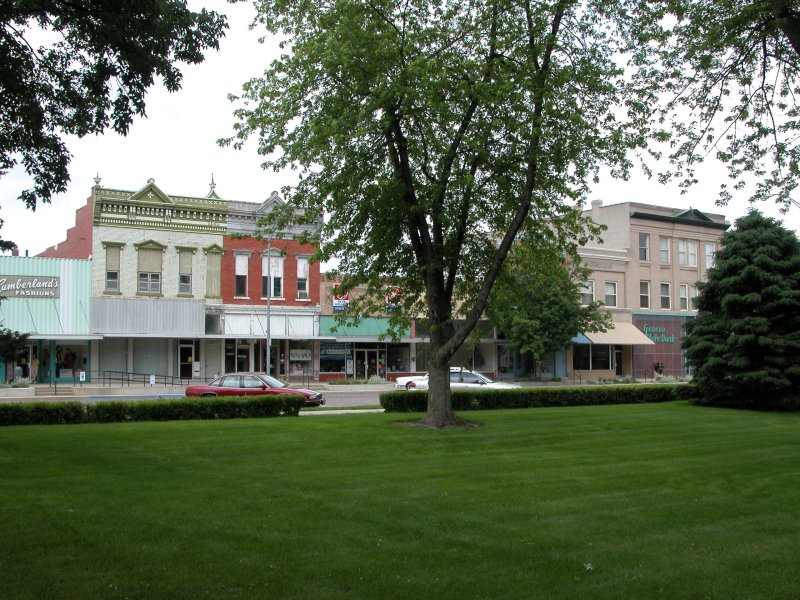
Left: Starting off the chase at the beautiful Fillmore County, Nebraska courthouse. Right: Old downtown Geneva.
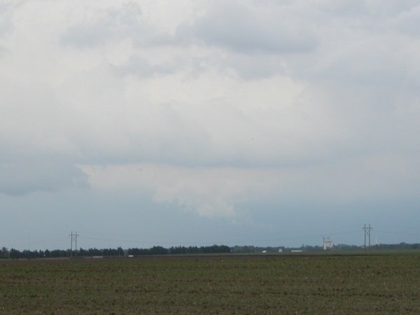

Left and Right : Looking northeast at a wall cloud near Columbus, NE
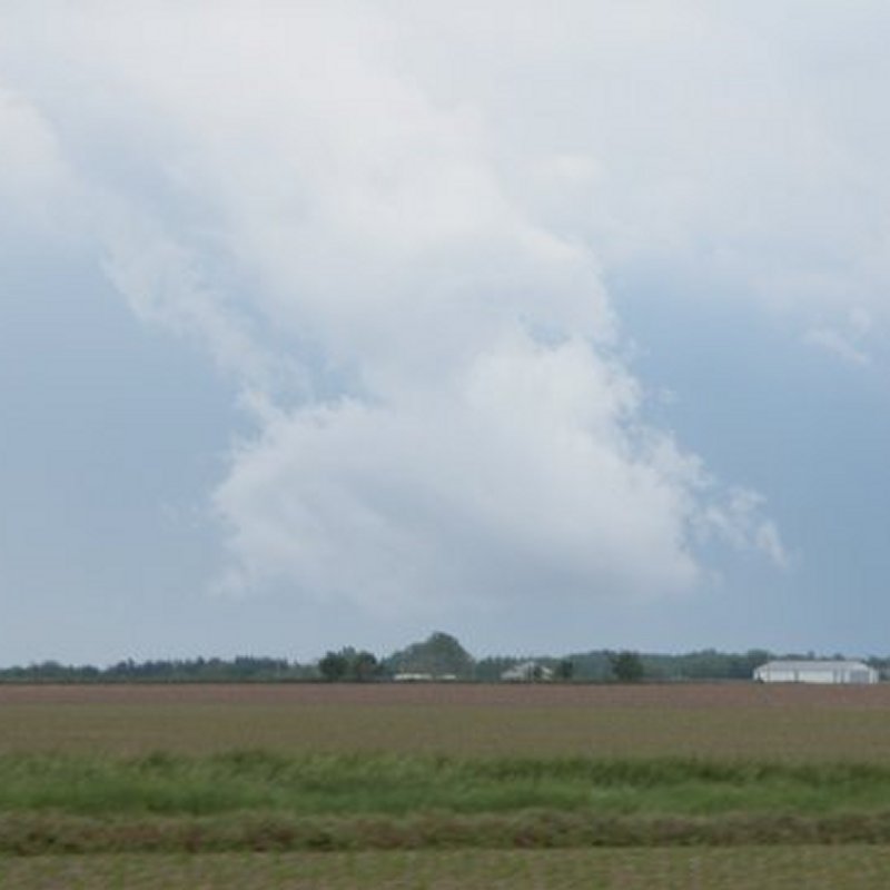
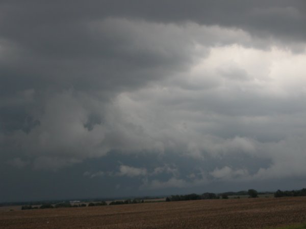
Left: Wall cloud gets undercut and dies. Right: Ominous looking clouds looking northeast from interestion of U.S. 77 and NE64.
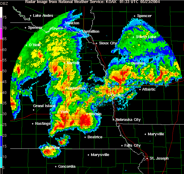
Omaha/Valley radar image at 0133 UTC (8:33 pm)
22 May 2004. Note the massive supercell with hook
echo between Lincoln and Beatrice.
Hallam F4 Tornado Damage Photos