This monster isolated cell tracked well over 150 miles from
Cherry County, NE on the Nebraska-South Dakota border through northern Omaha
and into western Iowa before finally weakening. This cell had a "purple"
return embedded in red on the OAX Doppler radar (refer to image). This almost
always means large hail, and indeed, hail 1.75 inches in diameter was reported
in Cuming County, NE. In addition, there were two tornado reports. Severe
storms were not forecast for Nebraska at this time as dewpoint temperatures
were in the 40s at this time. |
(click images for larger version)
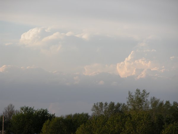
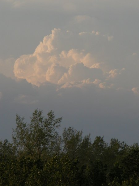
Looking due north. Cell located about 80 miles north of my location in Lincoln, NE
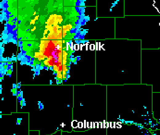
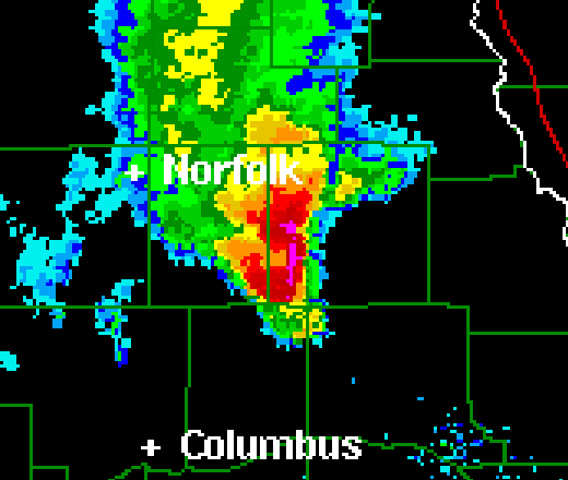
Left to Right: Radar image from Omaha (OAX) of the cell at approximately 7:30 pm and 8:00 pm respectively


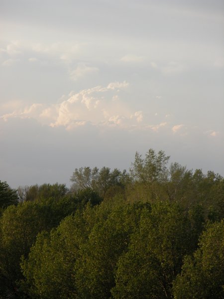
Catching the sunset on the trailing edge of clouds associated with the storm.
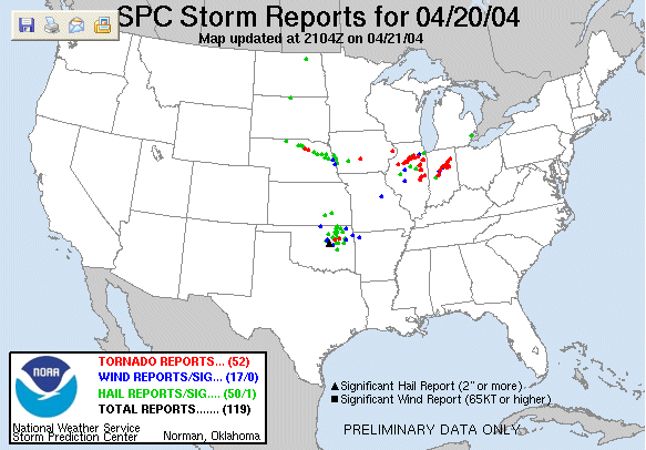
SPC Storm Reports for April 20, 2004. Note the streak across northeastern Nebraska.