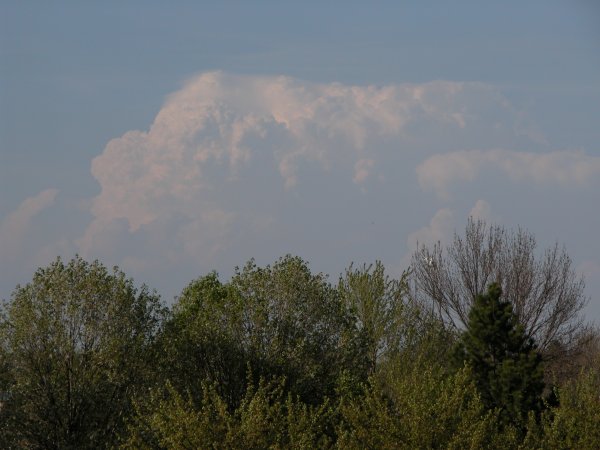
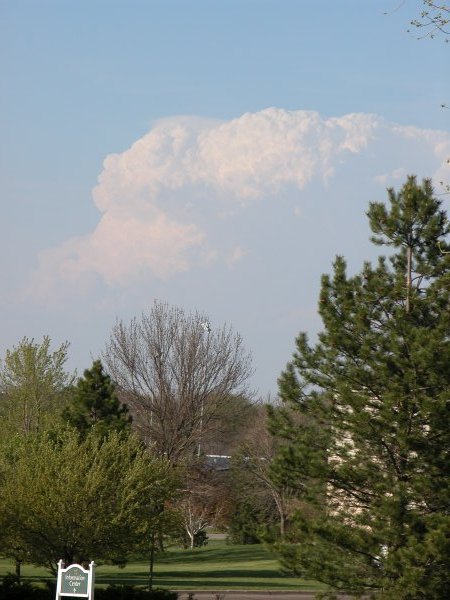
I didn't chase on 16 April 2004 but was tempted, given that towering cumulus
were developing just ahead of a weak cold front about 80 miles
north of my location in Lincoln, NE. The convergent boundary showed up very
well on the Omaha (OAX) Doppler radar.
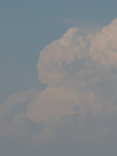
Also, what appeared
to be horizontal convective rolls (HCRs) were interacting with the boundary.
These could be seen on the visible satellite imagery as well as the
radar. A step outside my door made for a good quick photo opportunity.
Looking north/northest of Lincoln, NE. The tower is about 80 miles away.
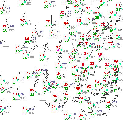
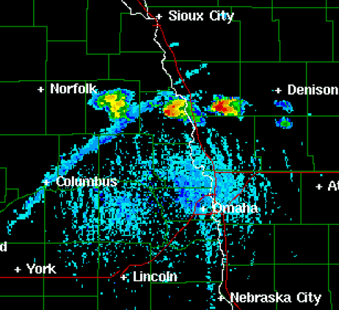
Left: 2300 UTC (6 pm) surface chart (from UCAR). Right: Reflectivity at about 2250 UTC (5:50 pm) from Omaha (OAX) Doppler radar
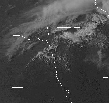
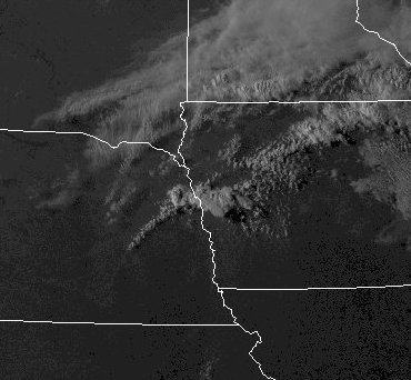
Left and Right: Visible satelite imagery at about 2230 UTC and 2330 UTC (5:30 and 6:30 pm) respectively (from UCAR).