Southwest Oklahoma 4 March 2003
Already in Norman, OK for the National Severe Weather Workshop
James, Adam, and I
along with a journalist from St. Louis and Skywarn spotter from Ohio (both on
their first
ever chase) headed out around noon in the "high risk" area. Our target
was Comanche, OK
which was the exact point we intersected the storm. We approached from the north
which
is one of the worst directions to approach. On the other side of the wall of
rain was a wall
cloud. The storm quickly moved northeast causing considerable wind damage. This
was the
same cell which caused tornado damage in Texas.
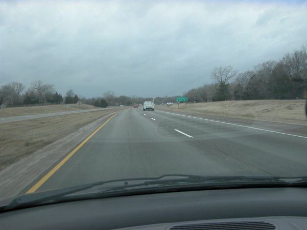
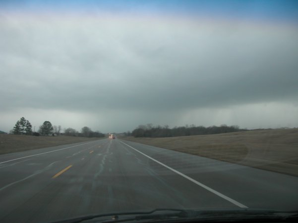
Left: Stormin' out of Norman on Hwy 9. Right: Getting ready to "core punch"
from the
north (not the best approach) on U.S. 81 near Commanche, OK.
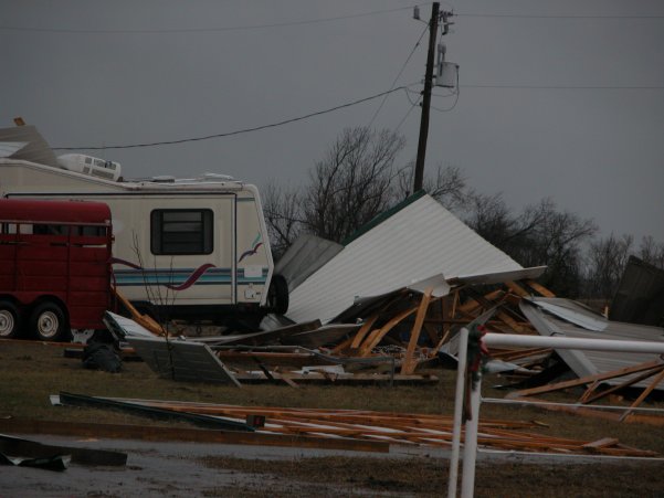
Wind damage east of Duncan, OK on Hwy 7.
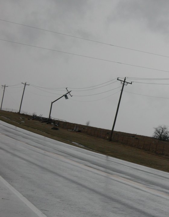
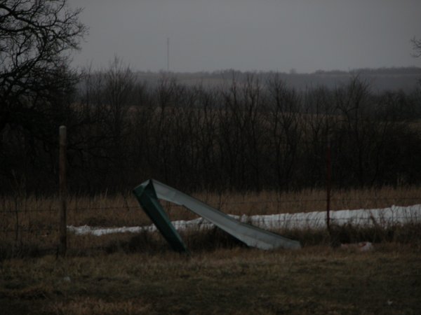
Same location on Hwy 7.
Comanche, OK43 seconds 10.2 MB (Quicktime) |
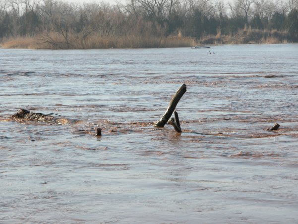
Canadian River Flood60 seconds 16.0 MB (Quicktime) |