Photo of the Day: Large tornado near Comstock, NE
|
Comstock, NE - June 9, 2004 |
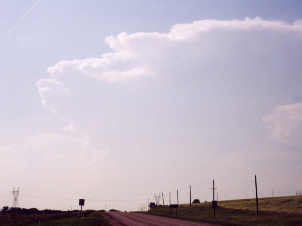
This was a highly anticipated day
by many University of Nebraska meteorology students. Computer
models several days in advance were putting out favorable solutions for
a significant severe weather event in Nebraska. Getting somewhat of a
late start, several students and I left Lincoln around 4pm and headed
west toward the dryline. Most other chasers were up along the warm front
near O'Neill, NE. We stopped at a rest area and viewed some weather data.
Most importantly, radar echoes began to appear. The dryline hung back
a little further wets than expected so we drove another 60 miles to Kearney.
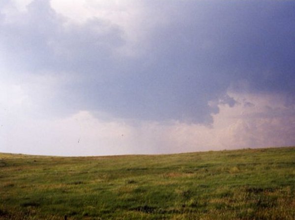
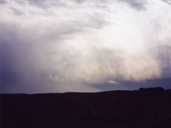
There were three cells that had great character. I recommended the middle
cell as it looked impressive and was the most accessible. We stopped to
photograph a wall cloud northwest of Kearney and then proceeded up Hwy
2 and then north on US 183. We witnessed some really interesting cloud
features as we made our trek. As we progressed over a hill the passengers
shouted, "Did you see that funnel!" I missed it. We finally
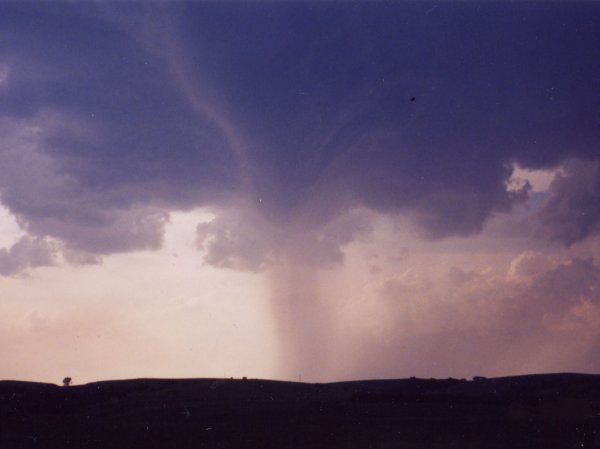
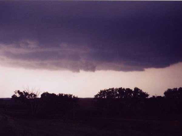
found a good vantage point to watch the storm cycle. As we parked another
poor contrast tornado was on the ground and lifted quickly. We moved up
the highway slightly and watched a beautiful slowly intensifying mesocyclone.
We probably watched it for 20 minutes if not more. The circulation began
to pass behind a hill so we drove up the road another few miles noticing
there was baseball sized hail stones on the shoulder. We stopped to "oogle"
over the hail when all of a sudden we heard a constant rumble. We immediately
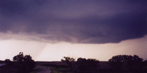
looked to our east and witnessed a very large cone shaped tornado that
was partially hail wrapped. We quickly got in the car and proceeded toward
the town of Comstock and were concerned the tornado may have devastated
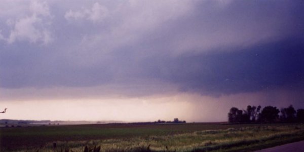
the town. We had to stop as an estimated 70 to 80 mph RFD accompanied
by quarter sized hail slammed us. The image of the tree getting blown
to oblivion is still well engrained in our minds. Wishing I had video
to show. I would estimate the wind in that location to be near 100 mph.
We were thankful we didn't stop another quarter mile down the road or
we would have been eating tree. The chase ended when the paved road turned
to a muddy dirt road. We managed to almost run into the beat up truck
that "Farmer Joe" with kids and all decided to stop abruptly
in the middle of the road to watch the storm. Back in the town of Comstock
we found large trees down on vehicles and homes. I said hello to an older
couple and asked if I could enter their property to photograph some very
large hail stones (some of which broke their windows, gutters, etc.) and
then had a little small town talk. On the way back to Lincoln we witnessed
a truely spectacular lightning show; one of the best I've seen. Total
miles: ~375. Chase rating: 10/10. Note: The tornado and hail went through
an area the would eventually be filled with perhaps several thousand people
the comming weekend for the "Comstock Fest" which is a hightly
touted outdoor country music concert loaded with big name artists. Catastrophy
averted.
Details
on this storm (from NCDC)
"Comstock Fest"
Photo of the Day: Large tornado near Comstock, NE
|
|
|
|
|
|
|
|
View more photos from this event